Map
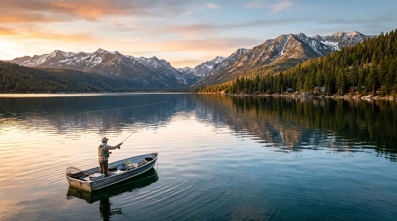
Angler fishing on a mountain lake at sunset

Find your next fishing spot

Popular lakes near you

Discover great fishing spots in your area

Everything you need to fish smarter

Professional-grade fishing intelligence powered by current data, satellite imagery, and insights from thousands of successful anglers.

High-Resolution Water Temperature

Precise temperature readings at multiple depths across 17,000+ lakes.

Latest Satellite Imagery

Updated every 3-4 days to assess water clarity, algae, and ice coverage.

AI Fishing Assistant

Professional AI with 20+ years of experience for personalized fishing plans.

Angler Community & Social

Connect with 100,000+ anglers and get local insights.

Plus dozens more features

Every tool you need to become a more successful angler.

7-Day Weather Forecasts

Wind, barometric pressure, and precipitation forecasts.

3D Lake Mapping

Underwater topography with detailed bathymetry maps.

Water Clarity Index

Current clarity measurements for choosing the right lures.

Species Intelligence

Species-specific insights and optimal fishing strategies.

Hotspot Heatmaps

Visualize fishing activity with interactive heatmaps.

Achievement System

Track progress, earn badges, and compete with anglers.

What anglers are saying

Simple, transparent pricing

Choose the plan that fits how often you fish and unlock Pro right away.

Monthly Pro

1 month

$8.50/ month
$102 billed annually

Unlock tactical trip-planning tools like where to start, warmer-water scouting, and nearby-lake comparisons.

  • Full trip plan for each lake
  • Where to start, what to throw, and when to move
  • Find warmer water and backup lakes before you drive
  • Unlimited guided lake questions
  • Historical water temp and thermal analysis
  • High-res satellite and 3D depth maps
  • Shoreline wind impact and lake planning tools
  • Ad-free planning experience
Most Popular

Annual Pro

12 months

$8.25/ month
$99 billed annuallySave $9/year

Best value for anglers who use LakeMonster all season and want the full tactical edge every trip.

  • Everything in Monthly Pro
  • Plan more trips with lower annual cost
  • Full Pro trip plans all season
  • Advanced weather and seasonal planning
  • Early access to new tactical tools
  • Early access to new features
  • Premium customer support
  • Know where to start
  • Compare lakes faster
  • Cancel anytime

Our Mission

LakeMonster advances lake science and environmental stewardship by providing accessible, data-driven insights on lake ecosystems to researchers, communities, and recreational users.

Environmental Stewardship

We are committed to preserving and protecting our lakes and waterways for future generations through responsible and sustainable practices.

Community Programs

We launch initiatives like lake cleanups, safety education, and webinars on lake ecosystems, often partnering with public agencies and NGOs to promote lake safety.

Education

We are dedicated to educating the public about the importance of our natural water resources, fostering a deeper understanding and appreciation of their value.

Revenue Allocation

We dedicate a portion of subscription and ad revenue to mission-related activities, such as developing open-source lake science tools and providing free data access for nonprofits.

Frequently asked questions

Our thermal data, sourced from multiple providers, offers varying update frequencies to ensure accurate and timely information. Typically, the information refreshes every 1-5 days, contingent on satellite passes and factors like cloud cover. When examining your lake's thermal map, you can easily access the collection date for the most up-to-date and reliable data to enhance your fishing experience.

We gather infrared readings of surface water from satellite-based sources and compile them to create a precise heatmap layer for each lake, providing valuable insights for many uses, including fishing, recreation, and environmental monitoring.

Monthly historic average water temperatures can be accessed, with data extending as far back as 2018, offering valuable insights for understanding seasonal patterns and planning your fishing trips.

Our findings indicate a strong correlation between satellite surface temperature readings and in-situ measurements like those from boat transducers, especially over larger areas. While not always an exact match at a specific point due to factors like mixing and time differences, the data is highly effective in identifying relatively warmer and cooler zones within a lake, guiding your fishing strategy towards more productive areas.

LakeMonster aims to provide the most comprehensive coverage of recreational fishing lakes across the United States. Our map layers and weather data are extensive, but coverage varies by feature:
Contours and Water Clarity: Over 17,000 lakes.Water Temperature: Approximately 17,000+ lakes and growing.Our team continuously expands coverage, prioritizing major recreational fisheries and popular destinations to ensure users have access to relevant information.
Yes. The best way is to open LakeMonster, search the lakes you fish, and explore the map layers and planning tools directly.If you want the full Pro experience, upgrading unlocks advanced map layers like Contours, Water Clarity, and Water Temperature so you can quickly confirm whether your favorite lakes are covered.
LakeMonster's PRO data provides actionable insights to enhance your fishing strategy:Water Temperature: Locate target species based on their preferred temperature ranges. Find warmer spawning areas in spring or cooler refuges like springs in summer. Compare lakes to choose the best option for the day.Water Clarity: Guide your lure color and presentation choices. Clearer water often requires more natural colors and finesse presentations, while stained water might call for brighter colors or baits with more vibration.Weather Data (Wind): Plan your launch point and fishing locations to minimize wind impact or use it to your advantage (e.g., fishing wind-blown points). Crucial for safety and boat control.By combining these data points, you can adapt to conditions and make more informed decisions on the water, significantly increasing your chances of success.

Download the LakeMonster app from the App Store or Google Play, create a free account, and start exploring lakes in your area. When you want the full planning edge, you can upgrade to Pro for premium layers, lake comparisons, and deeper decision-making tools.

Can't find what you're looking for? Reach out to our support team.