Lake Guntersville, Alabama

Lakes in Alabama, page 4

Photo: Lake Guntersville, Alabama. KyleRobles, CC BY-SA 4.0, via Wikimedia Commons

Map of lakes in Alabama

Loading the map…


All 346 lakes in Alabama

Showing 145–192 of 346 lakes

ListCards
  • Satellite view of Zamora Lake

    Zamora Lake

    Woodhaven · Jefferson County

    Size
    170 acres
    Max depth
    30 ft
    Elevation
    778 ft
    Water temp, Oct 30
    71°F

    Fish: Largemouth bass, Bluegill, Channel catfish, Black crappie and 2 more

    Conditions, weather and map

  • Satellite view of Baggetts Lake

    Baggetts Lake

    Vandiver · Shelby County

    Size
    40 acres
    Max depth
    8 ft
    Water temp, Oct 30
    70°F

    Fish: Largemouth bass, Bluegill, Channel catfish, Black crappie

    Conditions, weather and map

  • Satellite view of Lake Tanner

    Lake Tanner

    Greenville · Butler County

    Size
    57 acres
    Water temp, Oct 30
    76°F

    Fish: Largemouth bass, Bluegill, Channel catfish, Black crappie and 6 more

    Conditions, weather and map

  • Satellite view of Torbert Lake

    Torbert Lake

    Uchee · Russell County

    Size
    121 acres
    Elevation
    449 ft
    Water temp, Oct 30
    73°F

    Fish: Largemouth bass, Bluegill, Channel catfish, Black crappie and 2 more
    Conditions, weather and map

  • Satellite view of Hammond Lake

    Hammond Lake

    Letohatchee · Lowndes County

    Size
    45 acres
    Max depth
    2 ft
    Water temp, Oct 30
    73°F

    Fish: Largemouth bass, Bluegill, Channel catfish, Black crappie and 2 more
    Conditions, weather and map

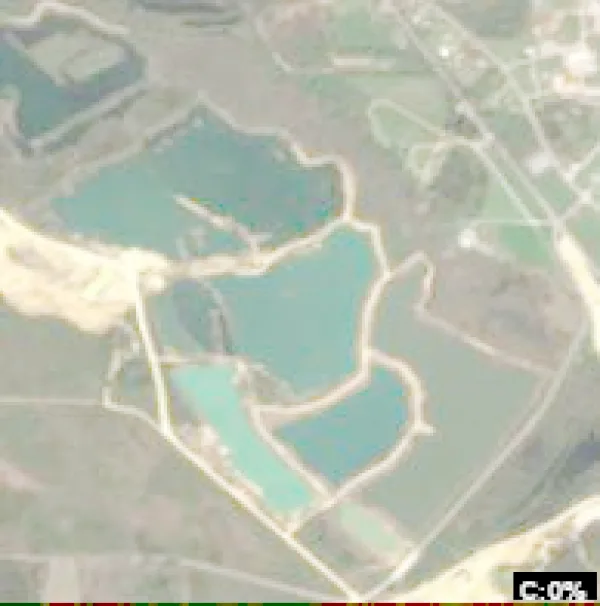
  • Satellite view of Speigner Lake

    Speigner Lake

    Elmore · Elmore County

    Size
    312 acres
    Elevation
    236 ft
    Water temp, Oct 30
    75°F

    Fish: Largemouth bass, Bluegill, Channel catfish, Black crappie and 2 more
    Conditions, weather and map

  • Satellite view of Pittman Lake

    Pittman Lake

    Woodhaven · Blount County

    Size
    23 acres
    Elevation
    745 ft
    Water temp, Oct 30
    72°F

    Fish: Largemouth bass, Bluegill, Channel catfish, Black crappie and 1 more

    Conditions, weather and map

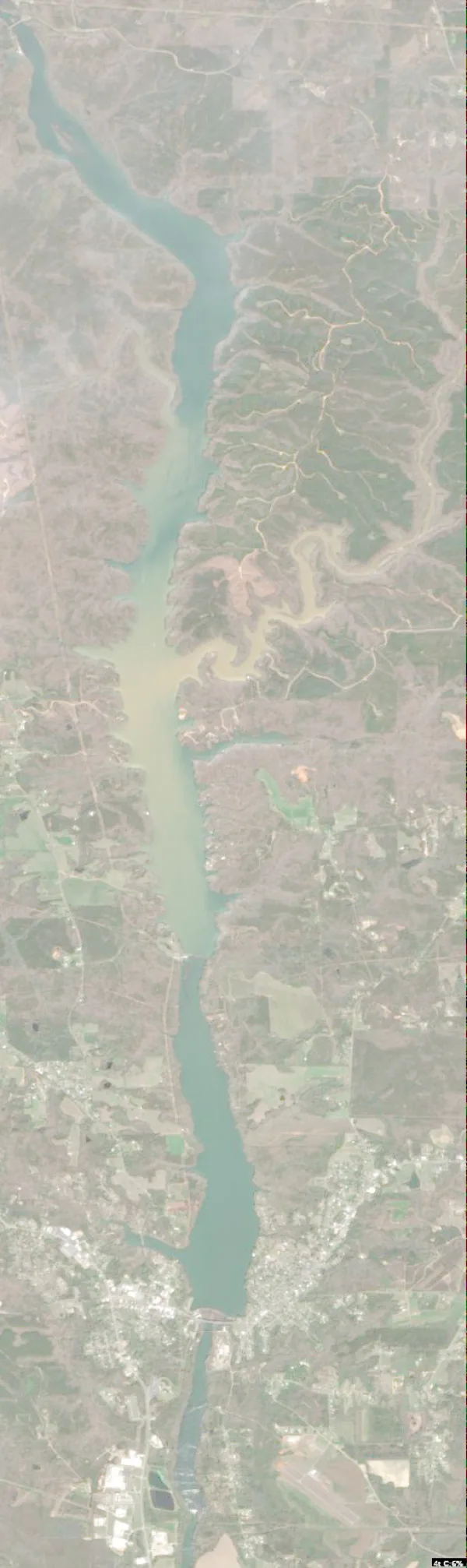
  • Satellite view of City Lake

    City Lake

    Tuskegee · Macon County

    Size
    82 acres
    Elevation
    335 ft
    Water temp
    63°F

    Fish: Largemouth bass, Bluegill, Channel catfish, Black crappie and 2 more
    Conditions, weather and map

  • Satellite view of County Lake

    County Lake

    Guin · Marion County

    Size
    37 acres
    Water temp, Oct 30
    67°F

    Fish: Largemouth bass, Bluegill, Redear sunfish, Channel catfish and 1 more

    Conditions, weather and map

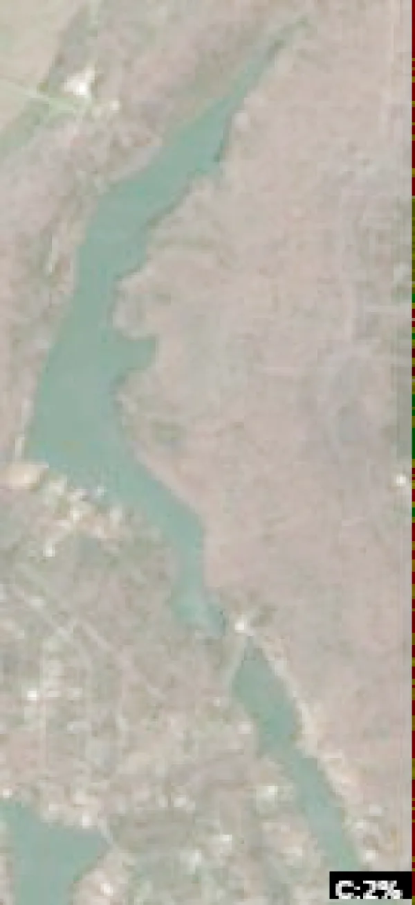
  • Satellite view of Jim Adams Lake

    Jim Adams Lake

    Arborgen · Autauga County

    Size
    60 acres
    Water temp, Oct 30
    73°F

    Fish: Largemouth bass, Bluegill, Channel catfish, Black crappie and 2 more
    • Paddle only
    • Fishing lake

    Conditions, weather and map

  • Satellite view of Lees Lake

    Lees Lake

    Glencoe · Calhoun County

    Size
    47 acres
    Max depth
    6 ft
    Elevation
    535 ft
    Water temp, Oct 30
    72°F
    • Paddle only
    • Fishing lake

    Conditions, weather and map

  • Satellite view of Youngblood Lake

    Youngblood Lake

    Troy · Pike County

    Size
    42 acres
    Water temp, Oct 30
    73°F

    Fish: Largemouth bass, Bluegill, Channel catfish, Black crappie and 2 more

    Conditions, weather and map

  • Satellite view of Russellville Reservoir

    Russellville Reservoir

    Russellville · Franklin County

    Size
    161 acres
    Max depth
    18 ft
    Elevation
    669 ft
    Water temp, Oct 30
    70°F

    Fish: Largemouth bass, Smallmouth bass, Bluegill, Gar

    Conditions, weather and map

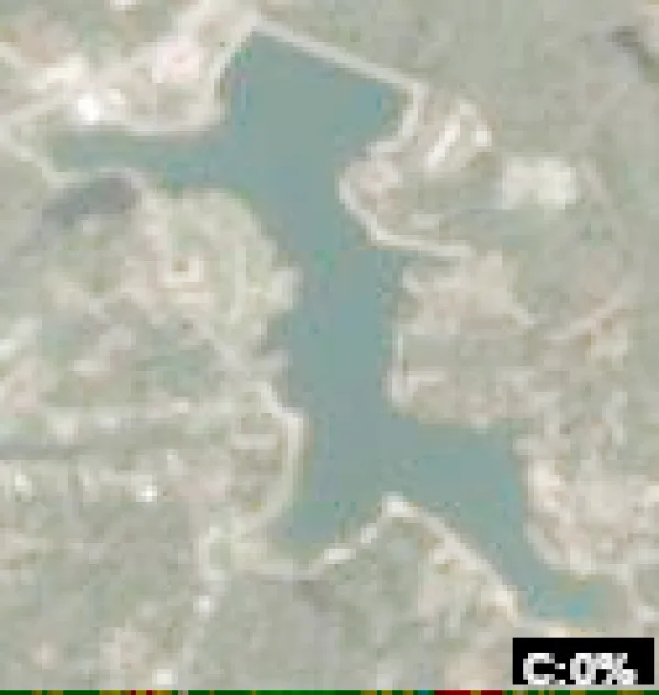
  • Satellite view of La Garde Lake

    La Garde Lake

    Spring Garden · Cherokee County

    Size
    52 acres
    Max depth
    19 ft
    Elevation
    676 ft
    Water temp, Oct 30
    70°F

    Fish: Largemouth bass, Bluegill, Channel catfish, Black crappie and 1 more
    Conditions, weather and map

  • Satellite view of Trucks Lake

    Trucks Lake

    Argo · St. Clair County

    Size
    40 acres
    Max depth
    18 ft
    Water temp, Oct 30
    68°F

    Fish: Largemouth bass, Bluegill, Channel catfish, Black crappie and 3 more

    Conditions, weather and map

  • Satellite view of Desoto Lake

    Desoto Lake

    Anderson Landing · Phillips County · MS

    Size
    1,000 acres
    Water temp, Oct 30
    71°F

    Conditions, weather and map

  • Satellite view of Steelwood Lake

    Steelwood Lake

    Loxley · Baldwin County

    Size
    195 acres
    Max depth
    17 ft
    Elevation
    108 ft
    Water temp, Oct 30
    73°F

    Fish: Largemouth bass, Bluegill, Redear sunfish, Black crappie and 1 more

    Conditions, weather and map

  • Satellite view of Lake Miriam

    Lake Miriam

    Zimmerman · Perry County

    Size
    49 acres
    Max depth
    4 ft
    Water temp, Oct 30
    78°F
    • Paddle only
    • Fishing lake

    Conditions, weather and map

  • Satellite view of Holcomb Lake

    Holcomb Lake

    Trussville · Jefferson County

    Size
    40 acres
    Max depth
    26 ft
    Water temp, Oct 30
    71°F

    Fish: Largemouth bass, Bluegill, Channel catfish, Black crappie

    Conditions, weather and map

  • Satellite view of Conners Lake

    Conners Lake

    Tuskegee · Macon County

    Size
    52 acres
    Elevation
    354 ft
    Water temp, Oct 30
    72°F

    Conditions, weather and map

  • Satellite view of Walkers Lake

    Walkers Lake

    Jones · Autauga County

    Size
    92 acres
    Elevation
    233 ft
    Water temp, Oct 30
    73°F

    Fish: Largemouth bass, Bluegill, Channel catfish, Black crappie and 2 more
    Conditions, weather and map

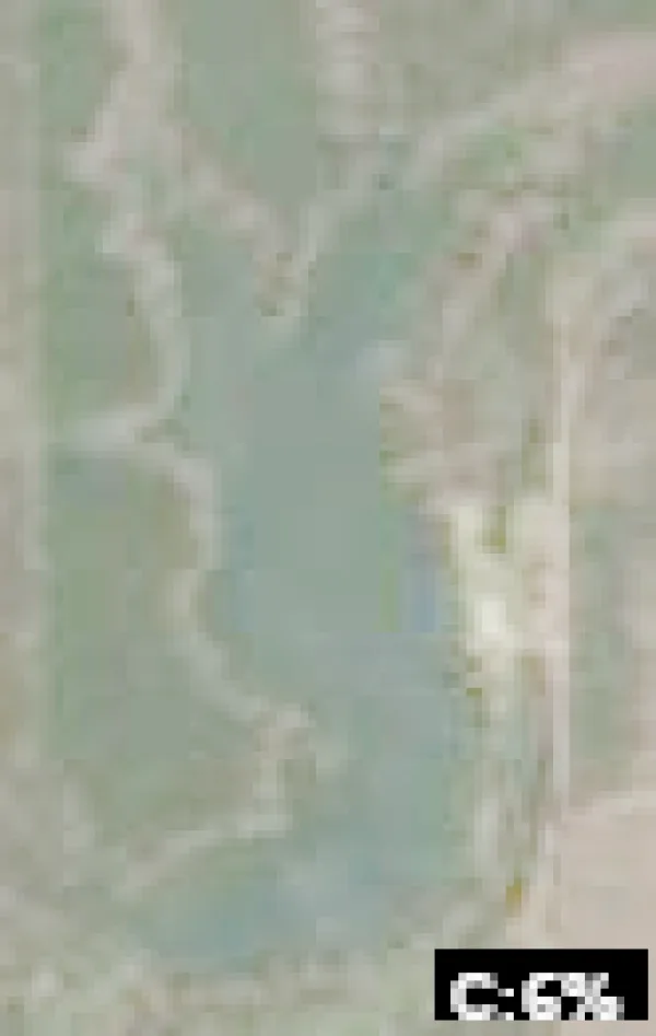
  • Satellite view of Hollybrook Lake

    Hollybrook Lake

    Dunavant · Shelby County

    Size
    45 acres
    Max depth
    12 ft
    Water temp, Oct 30
    70°F

    Fish: Largemouth bass, Bluegill, Channel catfish, Black crappie
    Conditions, weather and map

  • Little Lagoon

    Gulf Shores · Baldwin County

    Size
    2,533 acres

    Conditions, weather and map

  • Flynns Lake

    Barlow Bend · Clarke County

    Size
    1,127 acres

    Conditions, weather and map

  • Falco Bay

    Falco · Covington County

    Size
    498 acres

    Conditions, weather and map

  • Wolf Thicket Bay

    Falco · Covington County

    Size
    391 acres

    Conditions, weather and map

  • Three Rivers Lake

    Mcintosh · Washington County

    Size
    332 acres

    Conditions, weather and map

  • Middle Lake

    Orange Beach · Baldwin County

    Size
    200 acres

    Conditions, weather and map

  • Escambia County Lake

    Bradley · Escambia County

    Size
    184 acres

    Conditions, weather and map

  • Smith Lake

    Georgetown · Monroe County

    Size
    164 acres

    Conditions, weather and map

  • Stiggins Lake

    Mt. Vernon · Baldwin County

    Size
    149 acres

    Conditions, weather and map

Keep exploring

This list is rebuilt every day from LakeMonster’s lake records. Newest lake data in Alabama: . Sizes, depths and amenities are as recorded and are not available for every lake; water temperature readings show their own date.

Lakes in Alabama: 346 Lakes, Map & Counties – Page 4 | LakeMonster