Sylvan Lake in Custer State Park, South Dakota

Lakes in Day County, South Dakota

Photo: Sylvan Lake in Custer State Park, South Dakota. Pahcal123, CC BY-SA 4.0, via Wikimedia Commons

LakeMonster tracks 28 lakes and reservoirs in Day County, South Dakota, with a combined recorded surface of about 64,900 acres. The largest is Bitter Lake (15,710 acres) and the most visited on LakeMonster is Waubay Lake. Fish species are listed for 12 of them, most often bluegill, northern pike and yellow perch. Each lake page shows water temperature, lake weather and wind, satellite imagery and a map, so you can compare lakes before you drive.

Lakes
28
Recorded surface
64,900
acres of water
Fish species
12
listed across 12 lakes

Map of lakes in Day County, South Dakota

Loading the map…


Day County, South Dakota lakes by the numbers

Most visited on LakeMonster

  1. 1.Waubay Lake15,002 acres
  2. 2.Bitter Lake15,710 acres
  3. 3.Lake Enemy Swim2,146 acres
  4. 4.Pickerel Lake400 acres
  5. 5.Horseshoe Lake602 acres

Largest by surface area

  1. 1.Bitter Lake15,710 acres
  2. 2.South Waubay Lake15,540 acres
  3. 3.Waubay Lake15,002 acres
  4. 4.Rush Lake2,298 acres
  5. 5.Lake Enemy Swim2,146 acres

Deepest on record

  1. 1.Pickerel Lake41 ft
  2. 2.Bitter Lake33 ft
  3. 3.South Waubay Lake31 ft
  4. 4.Waubay Lake29 ft
  5. 5.Spring Lake28 ft

Highest elevation on record

  1. 1.Lake Enemy Swim1,844 ft
  2. 2.Campbell Slough1,837 ft
  3. 3.Pickerel Lake1,834 ft
  4. 4.Antelope Lake1,804 ft
  5. 5.Waubay Lake1,798 ft

All 28 lakes in Day County, South Dakota

Showing 1–28 of 28 lakes

ListCards
  • Satellite view of Waubay Lake

    Waubay Lake

    Waubay · Day County

    Size
    15,002 acres
    Max depth
    29 ft
    Elevation
    1,798 ft
    Water temp, Oct 30
    54°F

    Fish: Northern pike, Yellow perch, Walleye, Bluegill and 5 more

    Conditions, weather and map

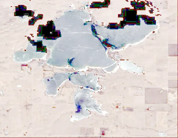
  • Satellite view of Bitter Lake

    Bitter Lake

    Waubay · Day County

    Size
    15,710 acres
    Max depth
    33 ft
    Elevation
    1,775 ft
    Water temp, Oct 30
    53°F

    Fish: Walleye, Yellow perch, Northern pike, Smallmouth bass and 3 more
    Conditions, weather and map

  • Satellite view of Lake Enemy Swim

    Lake Enemy Swim

    Waubay · Day County

    Size
    2,146 acres
    Max depth
    24 ft
    Elevation
    1,844 ft
    Water temp, Oct 30
    55°F

    Fish: Largemouth bass, Smallmouth bass, Northern pike, Walleye and 3 more

    Conditions, weather and map

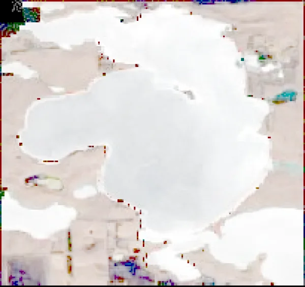
  • Satellite view of Pickerel Lake

    Pickerel Lake

    Grenville · Day County

    Size
    400 acres
    Max depth
    41 ft
    Elevation
    1,834 ft
    Water temp, Oct 30
    43°F

    Fish: Largemouth bass, Smallmouth bass, Northern pike, Walleye and 3 more
    Conditions, weather and map

  • Satellite view of Horseshoe Lake

    Horseshoe Lake

    Webster · Day County

    Size
    602 acres
    Max depth
    24 ft
    Elevation
    1,703 ft
    Water temp, Oct 30
    47°F
    • Fishing lake

    Conditions, weather and map

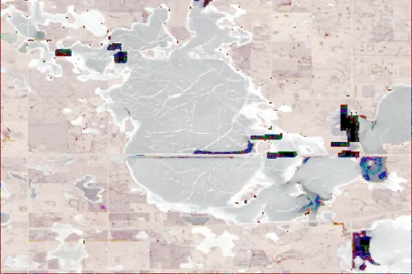
  • Satellite view of Blue Dog Lake

    Blue Dog Lake

    Waubay · Day County

    Size
    1,529 acres
    Max depth
    9 ft
    Elevation
    1,781 ft
    Water temp, Oct 30
    54°F

    Fish: Walleye, Northern pike, Yellow perch, Bluegill and 1 more
    Conditions, weather and map

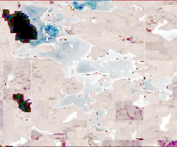
  • Satellite view of Rush Lake

    Rush Lake

    Waubay · Day County

    Size
    2,298 acres
    Elevation
    1,788 ft
    Water temp, Oct 30
    52°F

    Fish: Largemouth bass, Smallmouth bass, Northern pike, Walleye and 2 more
    Conditions, weather and map

  • Satellite view of Lynn Lake

    Lynn Lake

    Webster · Day County

    Size
    1,555 acres
    Elevation
    1,759 ft
    Water temp, Oct 30
    53°F

    Fish: Walleye, Northern pike, Yellow perch, Black crappie and 6 more

    Conditions, weather and map

  • Satellite view of Piyas Lake

    Piyas Lake

    Eden · Day County and Marshall County

    Size
    1,500 acres
    Water temp, Oct 30
    43°F

    Fish: Northern pike, Walleye, Yellow perch, Bluegill and 1 more
    Conditions, weather and map

  • Satellite view of Opitz Lake

    Opitz Lake

    Eden · Day County and Marshall County

    Size
    1,436 acres
    Max depth
    23 ft
    Water temp, Oct 30
    43°F

    Fish: Largemouth bass, Smallmouth bass, Northern pike, Walleye and 2 more
    Conditions, weather and map

  • Satellite view of Antelope Lake

    Antelope Lake

    Webster · Day County

    Size
    711 acres
    Max depth
    20 ft
    Elevation
    1,804 ft
    Water temp, Oct 30
    55°F

    Fish: Largemouth bass, Northern pike, Yellow perch, Bluegill and 1 more
    Conditions, weather and map

  • Satellite view of Amsden Lake

    Amsden Lake

    Amsden · Day County

    Size
    217 acres
    Max depth
    20 ft
    Water temp, Oct 30
    47°F

    Fish: Largemouth bass, Bluegill, Northern pike, Yellow perch and 1 more

    Conditions, weather and map

  • Satellite view of Hazelden Lake

    Hazelden Lake

    Webster · Day County

    Size
    863 acres
    Max depth
    20 ft
    Elevation
    1,778 ft
    Water temp, Oct 30
    54°F

    Conditions, weather and map

  • Satellite view of Minnewasta Lake

    Minnewasta Lake

    Waubay · Day County

    Size
    610 acres
    Max depth
    14 ft
    Elevation
    1,788 ft
    Water temp, Oct 30
    44°F

    Conditions, weather and map

  • Satellite view of Campbell Slough

    Campbell Slough

    Enemy Swim · Day County

    Size
    640 acres
    Elevation
    1,837 ft
    Water temp, Oct 30
    43°F

    Fish: Largemouth bass, Bluegill, Northern pike, Yellow perch and 2 more

    Conditions, weather and map

  • Satellite view of Long Lake

    Long Lake

    Lily · Day County

    Size
    232 acres
    Max depth
    6 ft
    Water temp, Oct 30
    43°F

    Conditions, weather and map

  • Satellite view of Bitter Lake

    Bitter Lake

    Bristol · Day County

    Size
    87 acres
    Max depth
    11 ft
    Water temp, Oct 30
    53°F

    Conditions, weather and map

  • Satellite view of Horseshoe Lake

    Horseshoe Lake

    Lily · Day County

    Size
    627 acres
    Max depth
    24 ft
    Water temp, Oct 30
    43°F

    Conditions, weather and map

  • Satellite view of Goose Lake

    Goose Lake

    Roslyn · Day County

    Size
    121 acres
    Max depth
    10 ft
    Water temp, Oct 30
    56°F

    Conditions, weather and map

  • Satellite view of South Waubay Lake

    South Waubay Lake

    Webster · Day County

    Size
    15,540 acres
    Max depth
    31 ft
    Water temp, Oct 30
    42°F

    Conditions, weather and map

  • Satellite view of Little Rush Lake

    Little Rush Lake

    Waubay · Day County

    Size
    496 acres
    Max depth
    7 ft
    Water temp, Oct 30
    53°F

    Conditions, weather and map

  • Satellite view of Goose Lake

    Goose Lake

    Waubay · Day County

    Size
    474 acres
    Max depth
    5 ft
    Water temp, Oct 30
    43°F

    Conditions, weather and map

  • Satellite view of Lonesome Lake

    Lonesome Lake

    Florence · Day County

    Size
    215 acres
    Max depth
    9 ft
    Water temp, Oct 30
    45°F

    Conditions, weather and map

  • Satellite view of Hillebrands Lake

    Hillebrands Lake

    Grenville · Day County

    Size
    462 acres
    Max depth
    15 ft
    Water temp, Oct 30
    44°F

    Conditions, weather and map

  • Satellite view of Sweetwater Lake

    Sweetwater Lake

    Crandall · Day County

    Size
    212 acres
    Max depth
    13 ft
    Water temp, Oct 30
    54°F

    Conditions, weather and map

  • Satellite view of Anderson Lake

    Anderson Lake

    Waubay · Day County

    Size
    153 acres
    Max depth
    11 ft
    Water temp, Oct 30
    43°F

    Conditions, weather and map

  • Satellite view of Spring Lake

    Spring Lake

    Waubay · Day County

    Size
    983 acres
    Max depth
    28 ft
    Water temp, Oct 30
    44°F

    Conditions, weather and map

  • Satellite view of Mud Lake

    Mud Lake

    Butler · Day County

    Size
    62 acres
    Max depth
    5 ft
    Water temp, Oct 30
    44°F

    Conditions, weather and map

Lakes in nearby counties

All 427 lakes in South Dakota

Questions about lakes in Day County, South Dakota

How many lakes are in Day County, South Dakota?
LakeMonster tracks 28 lakes and reservoirs in Day County, South Dakota. This counts the lakes LakeMonster follows, not every pond and water body.
What is the largest lake in Day County, South Dakota?
By recorded surface area, the largest lake in Day County, South Dakota on LakeMonster is Bitter Lake at 15,710 acres, followed by South Waubay Lake (15,540 acres), Waubay Lake (15,002 acres) and Rush Lake (2,298 acres).
What is the deepest lake in Day County, South Dakota?
Of the lakes with a recorded maximum depth, the deepest is Pickerel Lake at about 41 feet, followed by Bitter Lake (33 ft), South Waubay Lake (31 ft) and Waubay Lake (29 ft).
What fish can you catch in Day County, South Dakota lakes?
The species listed most often for Day County, South Dakota lakes on LakeMonster are bluegill (12 lakes), northern pike (12 lakes), yellow perch (12 lakes), walleye (11 lakes), largemouth bass (10 lakes) and smallmouth bass (7 lakes). Species lists are available for 12 of the 28 lakes. Check state regulations and seasons before fishing.
What are the most popular lakes in Day County, South Dakota?
The most visited Day County, South Dakota lake pages on LakeMonster are Waubay Lake, Bitter Lake, Lake Enemy Swim, Pickerel Lake and Horseshoe Lake.
What is the highest lake in Day County, South Dakota?
Of the lakes with a recorded elevation, the highest is Lake Enemy Swim at about 1,844 feet above sea level, followed by Campbell Slough (1,837 ft) and Pickerel Lake (1,834 ft).

Keep exploring

This list is rebuilt every day from LakeMonster’s lake records. Newest lake data in Day County, South Dakota: . Sizes, depths and amenities are as recorded and are not available for every lake; water temperature readings show their own date.

Lakes in Day County, South Dakota: 28 Lakes & Map | LakeMonster