Smith Mountain Lake, Virginia

Lakes in Virginia

Photo: Smith Mountain Lake, Virginia. Bernini123, CC0, via Wikimedia Commons

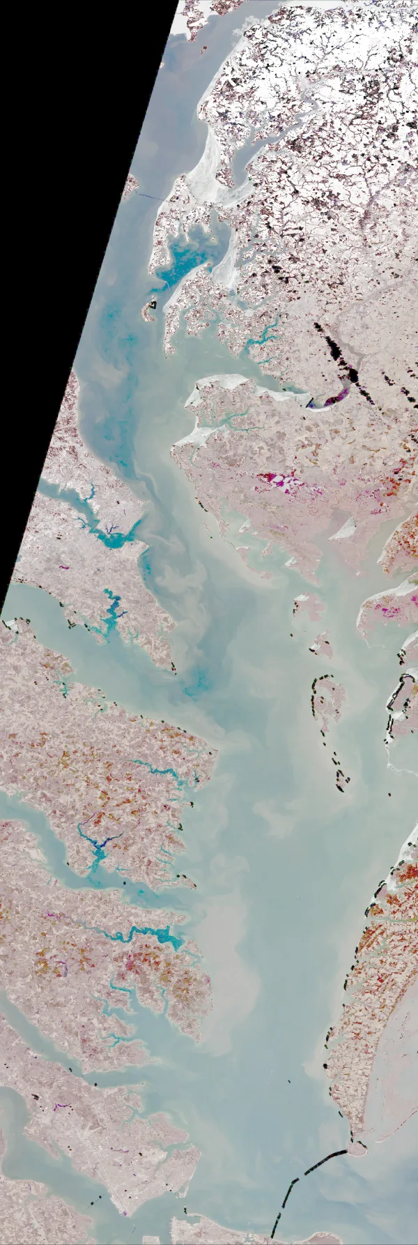
LakeMonster tracks 138 lakes and reservoirs in Virginia across 76 counties, with a combined recorded surface of about 183,400 acres. The largest is John H. Kerr Reservoir (48,900 acres) and the most visited on LakeMonster is Smith Mountain Lake. Fish species are listed for 23 of them, most often bluegill, largemouth bass and black crappie. Each lake page shows water temperature, lake weather and wind, satellite imagery and a map, so you can compare lakes before you drive.

Lakes
138
Counties
76
Recorded surface
183,400
acres of water
Fish species
28
listed across 23 lakes

Map of lakes in Virginia

Loading the map…


Virginia lakes by county

Pick a county to see only its lakes, with their own map.

Virginia lakes by the numbers

Most visited on LakeMonster

  1. 1.Smith Mountain Lake20,600 acres
  2. 2.Lake Anna9,600 acres
  3. 3.John H. Kerr Reservoir48,900 acres
  4. 4.Lake Gaston20,301 acres
  5. 5.South Holston Lake7,580 acres

Largest by surface area

  1. 1.John H. Kerr Reservoir48,900 acres
  2. 2.Back By25,000 acres
  3. 3.Smith Mountain Lake20,600 acres
  4. 4.Lake Gaston20,301 acres
  5. 5.Lake Anna9,600 acres

Deepest on record

  1. 1.Lake Moomaw152 ft
  2. 2.Lake Manassas60 ft
  3. 3.Lake Frederick54 ft
  4. 4.Lake Whitehurst41 ft
  5. 5.Nash Road Lake35 ft

Highest elevation on record

  1. 1.Laurel Bed Lake3,556 ft
  2. 2.Claytor Lake1,854 ft
  3. 3.South Holston Lake1,742 ft
  4. 4.Lake Moomaw1,614 ft
  5. 5.John W. Flannagan Reservoir1,434 ft

Virginia lakes by fish species

All 138 lakes in Virginia

Showing 1–48 of 138 lakes

ListCards
  • Satellite view of Smith Mountain Lake

    Smith Mountain Lake

    Huddleston · Bedford County and Franklin County

    Size
    20,600 acres
    Elevation
    787 ft
    Water temp, Oct 30
    64°F

    Fish: Largemouth bass, Smallmouth bass, Striped bass, Black crappie and 13 more

    Conditions, weather and map

  • Satellite view of Lake Anna

    Lake Anna

    Spotsylvania · Orange County and Spotsylvania County

    Size
    9,600 acres
    Elevation
    256 ft
    Water temp, Oct 30
    67°F

    Fish: Largemouth bass, Striped bass, White perch, Bluegill and 8 more

    Conditions, weather and map

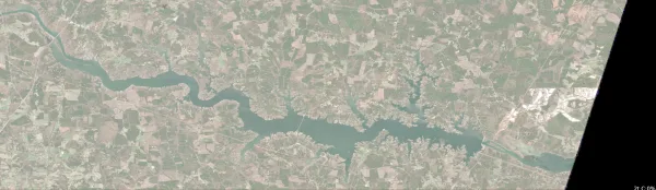
  • Satellite view of John H. Kerr Reservoir

    John H. Kerr Reservoir

    Boydton · Mecklenburg County

    Size
    48,900 acres
    Elevation
    312 ft
    Water temp, Oct 30
    66°F

    Fish: Largemouth bass, Blue catfish, Channel catfish, Flathead catfish and 11 more
    Conditions, weather and map

  • Satellite view of Lake Gaston

    Lake Gaston

    Littleton · Brunswick County · NC

    Size
    20,301 acres
    Elevation
    197 ft
    Water temp, Oct 30
    65°F

    Fish: Largemouth bass, Bluegill, Black crappie, White crappie and 6 more

    Conditions, weather and map

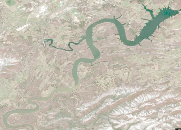
  • Satellite view of South Holston Lake

    South Holston Lake

    Bristol · Washington County · TN

    Size
    7,580 acres
    Elevation
    1,742 ft
    Water temp, Oct 30
    67°F

    Fish: Largemouth bass, Smallmouth bass, Spotted bass, Bluegill and 8 more
    Conditions, weather and map

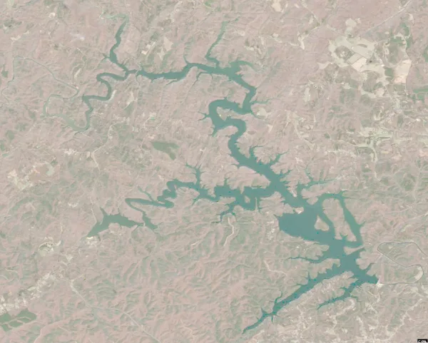
  • Satellite view of Claytor LakeLive camera

    Claytor Lake

    Dublin · Pulaski County

    Size
    4,363 acres
    Elevation
    1,854 ft
    Water temp, Oct 30
    56°F

    Fish: Largemouth bass, Smallmouth bass, Spotted bass, White bass and 9 more
    Conditions, weather and map

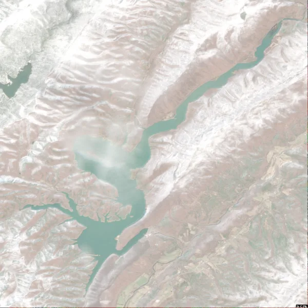
  • Satellite view of Philpott Lake

    Philpott Lake

    Philpott · Franklin County and Patrick County

    Size
    2,880 acres
    Elevation
    994 ft
    Water temp, Oct 30
    64°F

    Fish: Largemouth bass, Smallmouth bass, Spotted bass, Bluegill and 7 more
    Conditions, weather and map

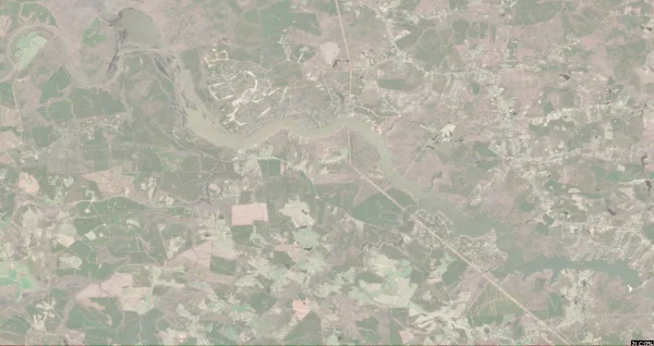
  • Satellite view of Lake Moomaw

    Lake Moomaw

    Hot Springs · Bath County

    Size
    2,530 acres
    Max depth
    152 ft
    Elevation
    1,614 ft
    Water temp, Oct 30
    61°F

    Fish: Largemouth bass, Smallmouth bass, Rainbow trout, Brown trout and 7 more
    Conditions, weather and map

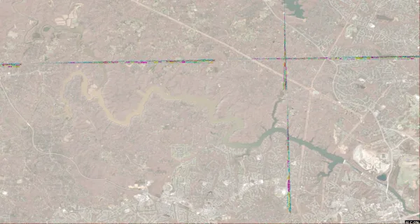
  • Satellite view of Lake Chesdin

    Lake Chesdin

    Church Road · Chesterfield County and Dinwiddie County

    Size
    3,100 acres
    Elevation
    148 ft
    Water temp, Oct 30
    64°F

    Fish: Largemouth bass, Bluegill, Black crappie, White crappie and 6 more
    Conditions, weather and map

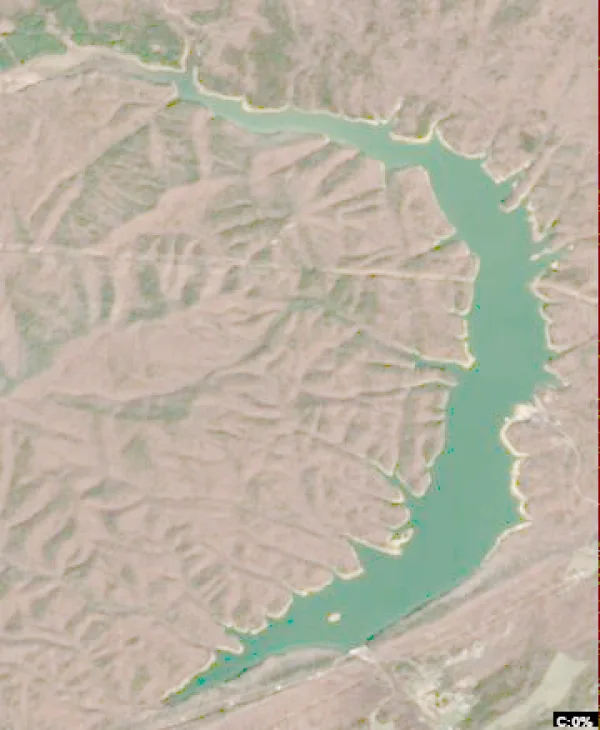
  • Satellite view of Occoquan Reservoir

    Occoquan Reservoir

    Occoquan · Fairfax County and Prince William County

    Size
    2,100 acres
    Elevation
    148 ft
    Water temp, Oct 30
    63°F

    Fish: Largemouth bass, Bluegill, Black crappie, White crappie and 7 more
    Conditions, weather and map

  • Satellite view of Carvins Cove Reservoir

    Carvins Cove Reservoir

    Roanoke · Roanoke County and Botetourt County

    Size
    627 acres
    Elevation
    1,181 ft
    Water temp, Oct 30
    62°F

    Fish: Largemouth bass, Smallmouth bass, Bluegill, Redear sunfish and 6 more
    Conditions, weather and map

  • Satellite view of Burke Lake

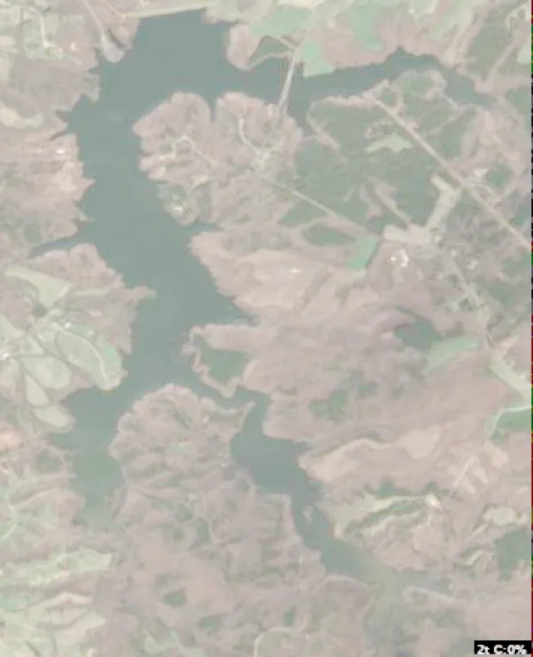
    Burke Lake

    Fairfax Station · Fairfax County

    Size
    280 acres
    Elevation
    325 ft
    Water temp, Oct 30
    59°F

    Fish: Largemouth bass, Bluegill, Black crappie, Channel catfish and 6 more
    Conditions, weather and map

  • Satellite view of Sandy River Reservoir

    Sandy River Reservoir

    Farmville · Prince Edward County

    Size
    740 acres
    Elevation
    361 ft
    Water temp, Oct 30
    65°F

    Fish: Largemouth bass, Bluegill, Black crappie, Channel catfish and 2 more
    Conditions, weather and map

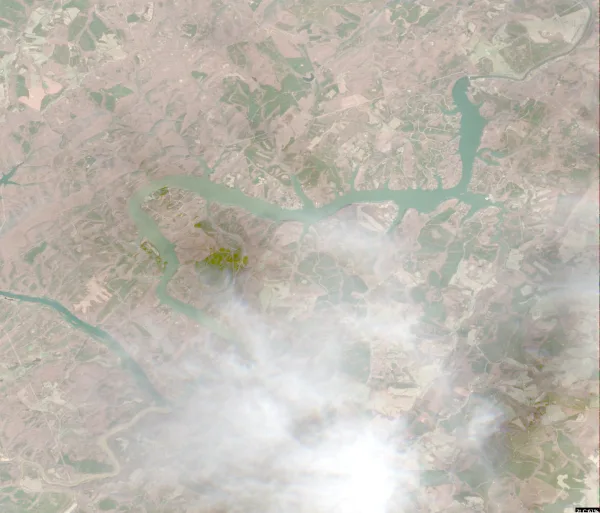
  • Satellite view of Briery Creek Lake

    Briery Creek Lake

    Farmville · Prince Edward County

    Size
    845 acres
    Elevation
    427 ft
    Water temp, Oct 30
    64°F

    Fish: Largemouth bass, Bluegill, Black crappie, Redear sunfish and 1 more
    Conditions, weather and map

  • Satellite view of Leesville Lake

    Leesville Lake

    Lynchburg · Pittsylvania County and Bedford County

    Size
    3,400 acres
    Elevation
    604 ft
    Water temp, Oct 30
    62°F

    Fish: Largemouth bass, Smallmouth bass, Spotted bass, Bluegill and 8 more
    Conditions, weather and map

  • Satellite view of Lee Hall Reservoir

    Lee Hall Reservoir

    Greenwood · Albemarle County

    Size
    230 acres
    Water temp, Oct 30
    64°F

    Conditions, weather and map

  • Satellite view of John W. Flannagan Reservoir

    John W. Flannagan Reservoir

    O Willis · Dickenson County

    Size
    1,143 acres
    Elevation
    1,434 ft
    Water temp, Oct 30
    63°F

    Fish: Largemouth bass, Smallmouth bass, Spotted bass, Bluegill and 6 more
    Conditions, weather and map

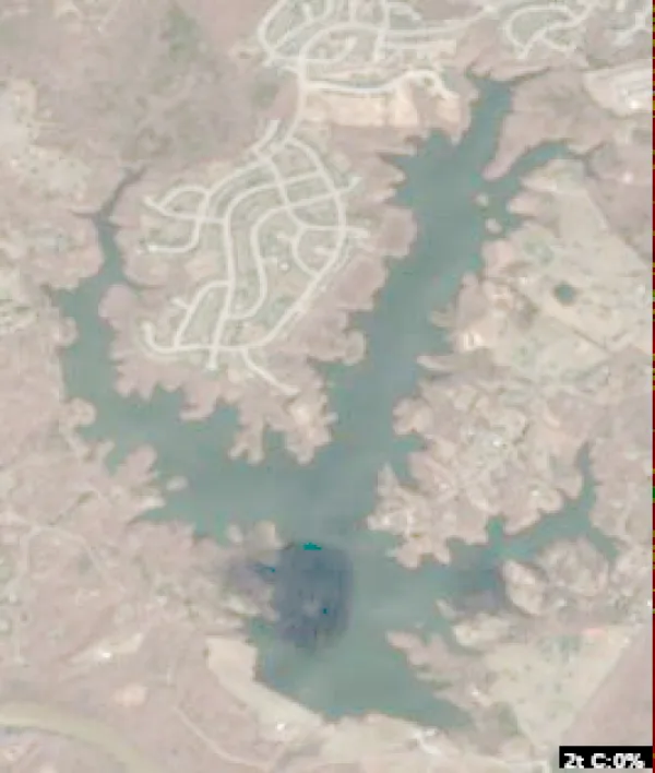
  • Satellite view of Little Creek Reservoir

    Little Creek Reservoir

    Toano · James City County

    Size
    996 acres
    Elevation
    82 ft
    Water temp, Oct 30
    65°F

    Fish: Largemouth bass, Bluegill, Black crappie, White crappie and 4 more
    • Fishing lake

    Conditions, weather and map

  • Satellite view of Lake Cohoon

    Lake Cohoon

    Suffolk · Suffolk County

    Size
    510 acres
    Elevation
    72 ft
    Water temp, Oct 30
    65°F

    Fish: Largemouth bass, Bluegill, Black crappie, Channel catfish and 1 more

    Conditions, weather and map

  • Satellite view of Laurel Bed Lake

    Laurel Bed Lake

    Belfast Mills · Russell County

    Size
    330 acres
    Elevation
    3,556 ft
    Water temp, Oct 30
    59°F

    Fish: Brook trout, Rainbow trout, Brown trout

    Conditions, weather and map

  • Satellite view of Mountain Run Lake

    Mountain Run Lake

    Salem · Culpeper County

    Size
    75 acres
    Max depth
    17 ft
    Water temp, Oct 30
    65°F

    Conditions, weather and map

  • Satellite view of Lake Drummond

    Lake Drummond

    Chesapeake · Chesapeake County and Suffolk County

    Size
    3,142 acres
    Max depth
    6 ft
    Elevation
    20 ft
    Water temp, Oct 30
    64°F

    Fish: Largemouth bass, Bluegill, Black crappie, Chain pickerel and 8 more

    Conditions, weather and map

  • Satellite view of Lake Independence

    Lake Independence

    Currioman Landing · Westmoreland County

    Size
    844 acres
    Water temp, Oct 30
    64°F

    Fish: Largemouth bass, Bluegill, Channel catfish, Black crappie and 3 more

    Conditions, weather and map

  • Satellite view of Swift Creek Lake

    Swift Creek Lake

    Woodlake · Chesterfield County

    Size
    1,700 acres
    Water temp, Oct 30
    63°F

    Conditions, weather and map

  • Satellite view of Rivanna Reservoir

    Rivanna Reservoir

    Windsor · Albemarle County

    Size
    450 acres
    Water temp, Oct 30
    61°F

    Conditions, weather and map

  • Satellite view of Lake Meade

    Lake Meade

    Suffolk · Suffolk County

    Size
    512 acres
    Max depth
    25 ft
    Elevation
    36 ft
    Water temp, Oct 30
    65°F

    Fish: Largemouth bass, Smallmouth bass, Bluegill, Northern pike
    Conditions, weather and map

  • Satellite view of Lake Montclair

    Lake Montclair

    Montclair · Prince William County

    Size
    100 acres
    Max depth
    18 ft
    Water temp, Oct 30
    65°F

    Conditions, weather and map

  • Satellite view of Lake of the Woods

    Lake of the Woods

    Lake Of The Woods · Orange County

    Size
    500 acres
    Max depth
    21 ft
    Water temp, Oct 30
    65°F

    Conditions, weather and map

  • Satellite view of Chesapeake Bay

    Chesapeake Bay

    Norfolk · Norfolk County

    Water temp, Oct 30
    62°F

    Conditions, weather and map

  • Satellite view of Fairfax Lake

    Fairfax Lake

    Reston · Fairfax County

    Size
    28 acres
    Water temp, Oct 30
    66°F

    Conditions, weather and map

  • Satellite view of Beaverdam Reservoir

    Beaverdam Reservoir

    Broadlands · Loudon County

    Size
    350 acres
    Water temp, Oct 30
    63°F

    Conditions, weather and map

  • Satellite view of Sherando Lake

    Sherando Lake

    Love · August County

    Size
    20 acres
    Water temp, Oct 30
    58°F

    Conditions, weather and map

  • Satellite view of Mill Creek Reservoir

    Mill Creek Reservoir

    Clifford · Amherst County

    Size
    189 acres
    Water temp, Oct 30
    63°F

    Conditions, weather and map

  • Satellite view of Lake Smith

    Lake Smith

    Lake Smith · Virginia Beach County

    Size
    193 acres
    Max depth
    5 ft
    Water temp, Oct 30
    68°F

    Conditions, weather and map

  • Satellite view of Lake Monticello

    Lake Monticello

    Crafton · Fluvanna County

    Size
    352 acres
    Max depth
    28 ft
    Water temp, Oct 30
    64°F

    Conditions, weather and map

  • Satellite view of Lake Frederick

    Lake Frederick

    Lake Frederick · Frederick County

    Size
    117 acres
    Max depth
    54 ft
    Water temp, Oct 30
    62°F

    Conditions, weather and map

  • Satellite view of Waller Mill Reservoir

    Waller Mill Reservoir

    Ewell · York County

    Size
    360 acres
    Max depth
    13 ft
    Water temp, Oct 30
    64°F

    Conditions, weather and map

  • Satellite view of Arrowhead Lake

    Arrowhead Lake

    Luray · Page County

    Size
    39 acres
    Water temp, Oct 30
    60°F

    Conditions, weather and map

  • Satellite view of Lake Orange

    Lake Orange

    Nasons · Orange County

    Size
    124 acres
    Water temp, Oct 30
    64°F

    Conditions, weather and map

  • Satellite view of Sleeter Lake

    Sleeter Lake

    Round Hill · Loudoun County

    Size
    101 acres
    Water temp, Oct 30
    65°F

    Conditions, weather and map

  • Satellite view of Fairy Stone Lake

    Fairy Stone Lake

    Philpott · Henry County

    Size
    168 acres
    Water temp, Oct 30
    61°F

    Conditions, weather and map

  • Satellite view of Chickahominy Lake

    Chickahominy Lake

    Holdcroft · New Kent County

    Size
    1,230 acres
    Water temp, Oct 30
    63°F

    Conditions, weather and map

  • Satellite view of Holiday Lake

    Holiday Lake

    Hurtsville · Appomattox County

    Size
    145 acres
    Water temp, Oct 30
    61°F

    Conditions, weather and map

Questions about lakes in Virginia

How many lakes are in Virginia?
LakeMonster tracks 138 lakes and reservoirs in Virginia. They are spread over 76 counties; Albemarle County (9), Suffolk County (6) and Fairfax County (5) have the most. This counts the lakes LakeMonster follows, not every pond and water body.
What is the largest lake in Virginia?
By recorded surface area, the largest lake in Virginia on LakeMonster is John H. Kerr Reservoir at 48,900 acres, followed by Back By (25,000 acres), Smith Mountain Lake (20,600 acres) and Lake Gaston (20,301 acres).
What is the deepest lake in Virginia?
Of the lakes with a recorded maximum depth, the deepest is Lake Moomaw at about 152 feet, followed by Lake Manassas (60 ft), Lake Frederick (54 ft) and Lake Whitehurst (41 ft).
What fish can you catch in Virginia lakes?
The species listed most often for Virginia lakes on LakeMonster are bluegill (22 lakes), largemouth bass (22 lakes), black crappie (21 lakes), channel catfish (20 lakes), white crappie (14 lakes) and yellow perch (14 lakes). Species lists are available for 23 of the 138 lakes. Check state regulations and seasons before fishing.
What are the most popular lakes in Virginia?
The most visited Virginia lake pages on LakeMonster are Smith Mountain Lake, Lake Anna, John H. Kerr Reservoir, Lake Gaston and South Holston Lake.
What is the highest lake in Virginia?
Of the lakes with a recorded elevation, the highest is Laurel Bed Lake at about 3,556 feet above sea level, followed by Claytor Lake (1,854 ft) and South Holston Lake (1,742 ft).

Keep exploring

This list is rebuilt every day from LakeMonster’s lake records. Newest lake data in Virginia: . Sizes, depths and amenities are as recorded and are not available for every lake; water temperature readings show their own date.

Lakes in Virginia: 138 Lakes, Map & Counties | LakeMonster