Moosehead Lake, Maine

Lakes in Somerset County, Maine

Photo: Moosehead Lake, Maine. J. Passepartout, CC BY-SA 4.0, via Wikimedia Commons

LakeMonster tracks 42 lakes and reservoirs in Somerset County, Maine, with a combined recorded surface of about 89,000 acres. The largest, Flagstaff Lake, covers 20,301 acres and is also the most visited on LakeMonster. Fish species are listed for 4 of them, most often chain pickerel, smallmouth bass and yellow perch. Each lake page shows water temperature, lake weather and wind, satellite imagery and a map, so you can compare lakes before you drive.

Lakes
42
Recorded surface
89,000
acres of water
Fish species
17
listed across 4 lakes

Map of lakes in Somerset County, Maine

Loading the map…


Somerset County, Maine lakes by the numbers

Most visited on LakeMonster

  1. 1.Flagstaff Lake20,301 acres
  2. 2.Embden Pond1,542 acres
  3. 3.Great Moose Pond3,584 acres
  4. 4.Indian Pond (Big Indian Lake)3,746 acres
  5. 5.Lake George335 acres

Largest by surface area

  1. 1.Flagstaff Lake20,301 acres
  2. 2.Little Brassua Lake9,542 acres
  3. 3.Brassua Lake8,979 acres
  4. 4.Seboomook Lake6,648 acres
  5. 5.Indian Pond (Big Indian Lake)3,746 acres

Deepest on record

  1. 1.Pleasant Lake217 ft
  2. 2.Embden Pond180 ft
  3. 3.King and Bartlett Lake159 ft
  4. 4.Wyman Lake140 ft
  5. 5.Spencer Lake135 ft

Highest elevation on record

  1. 1.King and Bartlett Lake1,594 ft
  2. 2.Penobscot Lake1,591 ft
  3. 3.Little Saint John Lake1,572 ft
  4. 4.Little King Lake1,424 ft
  5. 5.Saint Francis Lake1,355 ft

All 42 lakes in Somerset County, Maine

Showing 1–42 of 42 lakes

ListCards
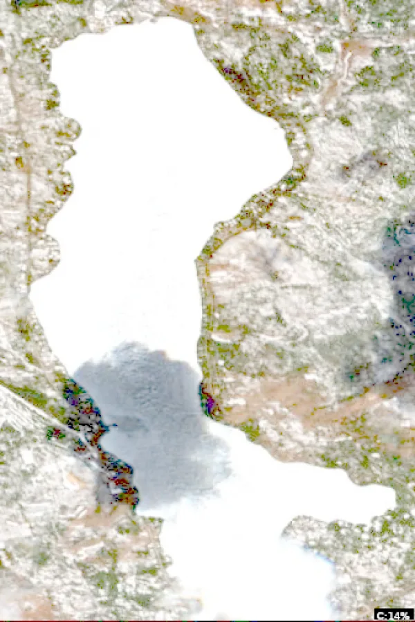
  • Satellite view of Flagstaff Lake

    Flagstaff Lake

    Northwest Somerset · Somerset County and Franklin County

    Size
    20,301 acres
    Max depth
    55 ft
    Elevation
    1,152 ft
    Water temp, Oct 30
    48°F

    Fish: Brook trout, Lake trout, White sucker, Longnose sucker and 5 more

    Conditions, weather and map

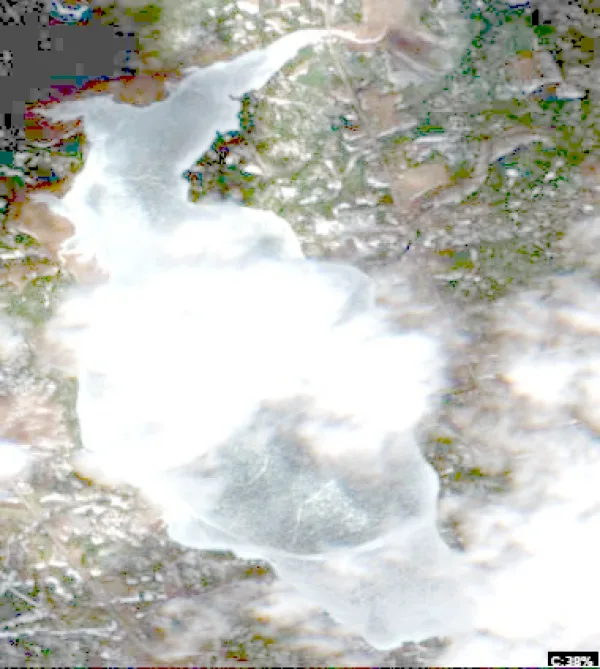
  • Satellite view of Embden Pond

    Embden Pond

    Embden · Somerset County

    Size
    1,542 acres
    Max depth
    180 ft
    Elevation
    433 ft
    Water temp, Oct 30
    53°F

    Fish: Largemouth bass, Smallmouth bass, Chain pickerel, White perch and 6 more

    Conditions, weather and map

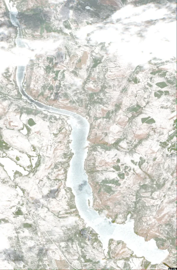
  • Satellite view of Great Moose Pond

    Great Moose Pond

    Hartland · Somerset County

    Size
    3,584 acres
    Max depth
    50 ft
    Elevation
    240 ft
    Water temp, Oct 30
    52°F

    Fish: Largemouth bass, Smallmouth bass, Chain pickerel, White perch and 5 more

    Conditions, weather and map

  • Satellite view of Indian Pond (Big Indian Lake)

    Indian Pond (Big Indian Lake)

    Saint Albans · Somerset County

    Size
    3,746 acres
    Max depth
    118 ft
    Elevation
    272 ft
    Water temp, Oct 30
    52°F

    Fish: Largemouth bass, Smallmouth bass, Chain pickerel, White perch and 7 more

    Conditions, weather and map

  • Satellite view of Lake George

    Lake George

    Canaan · Somerset County

    Size
    335 acres
    Max depth
    68 ft
    Elevation
    223 ft
    Water temp, Oct 30
    53°F

    Conditions, weather and map

  • Satellite view of Wesserunsett Lake

    Wesserunsett Lake

    Madison · Somerset County

    Size
    1,446 acres
    Max depth
    22 ft
    Elevation
    338 ft
    Water temp, Oct 30
    41°F

    Conditions, weather and map

  • Satellite view of Wyman Lake

    Wyman Lake

    Moscow · Somerset County

    Size
    3,146 acres
    Max depth
    140 ft
    Elevation
    479 ft
    Water temp, Oct 30
    54°F

    Conditions, weather and map

  • Satellite view of Brassua Lake

    Brassua Lake

    Rockwood · Somerset County

    Size
    8,979 acres
    Max depth
    71 ft
    Water temp, Oct 30
    48°F

    Conditions, weather and map

  • Satellite view of Baker Lake

    Baker Lake

    Sainte Justine · Somerset County

    Size
    1,255 acres
    Max depth
    30 ft
    Elevation
    1,161 ft
    Water temp, Oct 30
    46°F

    Conditions, weather and map

  • Satellite view of Seboomook Lake

    Seboomook Lake

    Seboomook Lake · Somerset County

    Size
    6,648 acres
    Max depth
    48 ft
    Elevation
    1,073 ft
    Water temp, Oct 30
    48°F

    Conditions, weather and map

  • Satellite view of Penobscot Lake

    Penobscot Lake

    Rockwood · Somerset County

    Size
    1,019 acres
    Max depth
    104 ft
    Elevation
    1,591 ft
    Water temp, Oct 30
    47°F

    Conditions, weather and map

  • Satellite view of Little Brassua Lake

    Little Brassua Lake

    Brassua Lake · Somerset County

    Size
    9,542 acres
    Max depth
    87 ft
    Elevation
    1,099 ft
    Water temp, Oct 30
    47°F

    Conditions, weather and map

  • Satellite view of Canada Falls Lake

    Canada Falls Lake

    Dennistown · Somerset County

    Size
    2,627 acres
    Max depth
    24 ft
    Elevation
    1,227 ft
    Water temp, Oct 30
    46°F

    Conditions, weather and map

  • Satellite view of Moxie Pond

    Moxie Pond

    Troutdale · Somerset County

    Size
    2,370 acres
    Max depth
    56 ft
    Water temp, Oct 30
    48°F

    Conditions, weather and map

  • Satellite view of Spencer Lake

    Spencer Lake

    Spencer Lake · Somerset County
    Size
    1,819 acres
    Max depth
    135 ft
    Elevation
    1,076 ft
    Water temp, Oct 30
    49°F

    Conditions, weather and map

  • Satellite view of Baker Lake

    Baker Lake

    Saint-georges · Somerset County

    Size
    1,231 acres
    Max depth
    33 ft
    Water temp, Oct 30
    48°F

    Conditions, weather and map

  • Satellite view of Long Pond

    Long Pond

    Long Pond · Somerset County

    Size
    3,053 acres
    Max depth
    44 ft
    Water temp, Oct 30
    46°F

    Conditions, weather and map

  • Satellite view of Wood Pond

    Wood Pond

    Jackman · Somerset County

    Size
    2,150 acres
    Max depth
    72 ft
    Water temp, Oct 30
    49°F

    Conditions, weather and map

  • Satellite view of Attean Pond

    Attean Pond

    Jackman · Somerset County

    Size
    2,745 acres
    Max depth
    55 ft
    Water temp, Oct 30
    47°F

    Conditions, weather and map

  • Satellite view of Smith Pond

    Smith Pond

    Brighton · Somerset County

    Size
    160 acres
    Max depth
    32 ft
    Water temp, Oct 30
    48°F

    Conditions, weather and map

  • Satellite view of North Pond

    North Pond

    Smithfield · Somerset County

    Size
    2,225 acres
    Max depth
    20 ft
    Water temp, Oct 30
    51°F

    Conditions, weather and map

  • Satellite view of King and Bartlett Lake

    King and Bartlett Lake

    King And Bartlett Lake · Somerset County

    Size
    538 acres
    Max depth
    159 ft
    Elevation
    1,594 ft
    Water temp, Oct 30
    50°F

    Conditions, weather and map

  • Satellite view of Little Big Wood Pond

    Little Big Wood Pond

    Moose River · Somerset County

    Size
    713 acres
    Max depth
    88 ft
    Water temp, Oct 30
    49°F

    Conditions, weather and map

  • Satellite view of Ironbound Pond (Wentworth Pond)

    Ironbound Pond (Wentworth Pond)

    Solon · Somerset County

    Size
    213 acres
    Max depth
    48 ft
    Water temp, Oct 30
    48°F

    Conditions, weather and map

  • Satellite view of Blakeslee Lake

    Blakeslee Lake

    Holeb · Somerset County

    Size
    47 acres
    Max depth
    45 ft
    Water temp, Oct 30
    47°F
    • Fishing lake

    Conditions, weather and map

  • Satellite view of Grace Pond

    Grace Pond

    Jackman · Somerset County

    Size
    150 acres
    Max depth
    45 ft
    Water temp, Oct 30
    45°F

    Conditions, weather and map

  • Satellite view of Pierce Pond

    Pierce Pond

    Caratunk · Somerset County

    Size
    1,650 acres
    Max depth
    131 ft
    Water temp, Oct 30
    49°F

    Conditions, weather and map

  • Satellite view of Holeb Pond

    Holeb Pond

    Holeb · Somerset County

    Size
    1,055 acres
    Max depth
    57 ft
    Water temp, Oct 30
    47°F

    Conditions, weather and map

  • Satellite view of Ripley Pond

    Ripley Pond

    Ripley · Somerset County

    Size
    240 acres
    Max depth
    13 ft
    Water temp, Oct 30
    50°F

    Conditions, weather and map

  • Satellite view of Sandy Pond

    Sandy Pond

    Embden · Somerset County

    Size
    107 acres
    Max depth
    41 ft
    Water temp, Oct 30
    52°F

    Conditions, weather and map

  • Satellite view of Big Dimmick Pond

    Big Dimmick Pond

    Caratunk · Somerset County

    Size
    90 acres
    Max depth
    39 ft
    Water temp, Oct 30
    47°F

    Conditions, weather and map

  • Satellite view of Spring Lake

    Spring Lake

    The Horns · Somerset County

    Size
    729 acres
    Max depth
    78 ft
    Elevation
    1,329 ft
    Water temp, Oct 30
    50°F

    Conditions, weather and map

  • Satellite view of Lake Como

    Lake Como

    Harmony · Somerset County

    Size
    52 acres
    Max depth
    89 ft
    Elevation
    246 ft
    Water temp, Oct 30
    51°F

    Conditions, weather and map

  • Satellite view of Little King Lake

    Little King Lake

    Bartlett Mountain · Somerset County

    Size
    91 acres
    Max depth
    86 ft
    Elevation
    1,424 ft
    Water temp, Oct 30
    49°F

    Conditions, weather and map

  • Satellite view of Bald Mountain Pond

    Bald Mountain Pond

    Blanchard · Somerset County

    Size
    1,152 acres
    Max depth
    68 ft
    Water temp, Oct 30
    48°F

    Conditions, weather and map

  • Satellite view of Pleasant Lake

    Pleasant Lake

    Pleasant Pond · Somerset County

    Size
    1,120 acres
    Max depth
    217 ft
    Water temp, Oct 30
    50°F

    Conditions, weather and map

  • Satellite view of Desolation Pond

    Desolation Pond

    Ashland · Somerset County

    Size
    74 acres
    Max depth
    8 ft
    Water temp, Oct 30
    44°F

    Conditions, weather and map

  • Satellite view of Little Austin

    Little Austin

    Troutdale · Somerset County

    Size
    110 acres
    Max depth
    33 ft
    Water temp, Oct 30
    48°F

    Conditions, weather and map

  • Satellite view of Hancock Pond

    Hancock Pond

    Embden · Somerset County

    Size
    320 acres
    Max depth
    116 ft
    Water temp, Oct 30
    52°F

    Conditions, weather and map

  • Satellite view of Fahi Pond

    Fahi Pond

    Embden · Somerset County

    Size
    196 acres
    Max depth
    12 ft
    Water temp, Oct 30
    42°F

    Conditions, weather and map

Lakes in nearby counties

All 674 lakes in Maine

Questions about lakes in Somerset County, Maine

How many lakes are in Somerset County, Maine?
LakeMonster tracks 42 lakes and reservoirs in Somerset County, Maine. This counts the lakes LakeMonster follows, not every pond and water body.
What is the largest lake in Somerset County, Maine?
By recorded surface area, the largest lake in Somerset County, Maine on LakeMonster is Flagstaff Lake at 20,301 acres, followed by Little Brassua Lake (9,542 acres), Brassua Lake (8,979 acres) and Seboomook Lake (6,648 acres).
What is the deepest lake in Somerset County, Maine?
Of the lakes with a recorded maximum depth, the deepest is Pleasant Lake at about 217 feet, followed by Embden Pond (180 ft), King and Bartlett Lake (159 ft) and Wyman Lake (140 ft).
What fish can you catch in Somerset County, Maine lakes?
The species listed most often for Somerset County, Maine lakes on LakeMonster are chain pickerel (4 lakes), smallmouth bass (4 lakes), yellow perch (4 lakes), american eel (3 lakes), brown bullhead (3 lakes) and largemouth bass (3 lakes). Species lists are available for 4 of the 42 lakes. Check state regulations and seasons before fishing.
What are the most popular lakes in Somerset County, Maine?
The most visited Somerset County, Maine lake pages on LakeMonster are Flagstaff Lake, Embden Pond, Great Moose Pond, Indian Pond (Big Indian Lake) and Lake George.
What is the highest lake in Somerset County, Maine?
Of the lakes with a recorded elevation, the highest is King and Bartlett Lake at about 1,594 feet above sea level, followed by Penobscot Lake (1,591 ft) and Little Saint John Lake (1,572 ft).

Keep exploring

This list is rebuilt every day from LakeMonster’s lake records. Newest lake data in Somerset County, Maine: . Sizes, depths and amenities are as recorded and are not available for every lake; water temperature readings show their own date.

Lakes in Somerset County, Maine: 42 Lakes & Map | LakeMonster