Sardis Lake, Mississippi

Lakes in Mississippi, page 2

Photo: Sardis Lake, Mississippi. Angelika Lindner, CC BY-SA 3.0 de, via Wikimedia Commons

Map of lakes in Mississippi

Loading the map…


All 121 lakes in Mississippi

Showing 49–96 of 121 lakes

ListCards

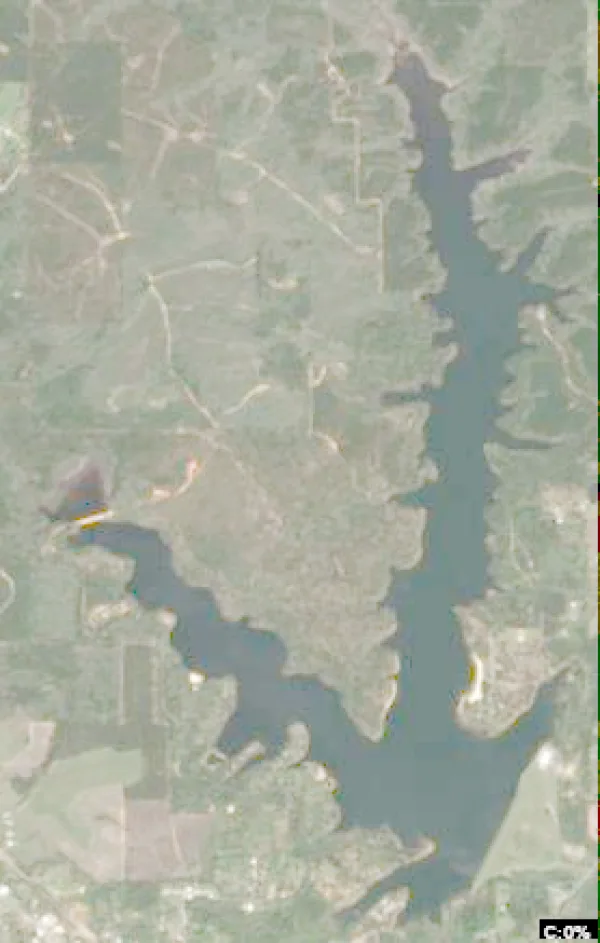
  • Satellite view of Shadow Lake

    Shadow Lake

    Morton · Scott County

    Size
    147 acres
    Max depth
    32 ft
    Water temp, Oct 30
    72°F

    Conditions, weather and map

  • Satellite view of Tippah County Lake

    Tippah County Lake

    Falkner · Tippah County

    Size
    145 acres
    Max depth
    30 ft
    Water temp, Oct 30
    69°F

    Conditions, weather and map

  • Satellite view of Flint Creek Reservoir

    Flint Creek Reservoir

    Wiggins · Stone County

    Size
    650 acres
    Water temp, Oct 30
    73°F

    Conditions, weather and map

  • Satellite view of Elvis Presley Lake

    Elvis Presley Lake

    Auburn · Lee County

    Size
    322 acres
    Max depth
    35 ft
    Water temp, Oct 30
    69°F

    Conditions, weather and map

  • Satellite view of Simpson County Lake

    Simpson County Lake

    Sanatorium · Simpson County

    Size
    76 acres
    Max depth
    15 ft
    Water temp, Oct 30
    71°F

    Conditions, weather and map

  • Satellite view of Lake Copiah

    Lake Copiah

    Gallman · Copiah County

    Size
    163 acres
    Max depth
    5 ft
    Water temp, Oct 30
    72°F

    Conditions, weather and map

  • Satellite view of Chewalla Lake

    Chewalla Lake

    Holly Springs · Marshall County

    Size
    230 acres
    Max depth
    12 ft
    Water temp, Oct 30
    67°F

    Conditions, weather and map

  • Satellite view of Crystal Lake

    Crystal Lake

    Jackson · Rankin County

    Size
    200 acres
    Max depth
    12 ft
    Water temp, Oct 30
    75°F

    Conditions, weather and map

  • Satellite view of Tombigbee Lake

    Tombigbee Lake

    Plantersville · Lee County

    Size
    90 acres
    Max depth
    30 ft
    Water temp, Oct 30
    69°F

    Conditions, weather and map

  • Satellite view of Lake Monroe

    Lake Monroe

    New Wren · Monroe County

    Size
    99 acres
    Max depth
    22 ft
    Water temp, Oct 30
    71°F

    Conditions, weather and map

  • Satellite view of Lake Bill Waller

    Lake Bill Waller

    Columbia · Marion County

    Size
    168 acres
    Max depth
    27 ft
    Water temp, Oct 30
    73°F

    Conditions, weather and map

  • Satellite view of Alligator Lake

    Alligator Lake

    Hollandale · Washington County

    Size
    60 acres
    Water temp, Oct 30
    69°F

    Conditions, weather and map

  • Satellite view of Ivy Lake

    Ivy Lake

    Quitman · Clarke County

    Size
    65 acres
    Max depth
    14 ft
    Water temp, Oct 30
    71°F

    Conditions, weather and map

  • Satellite view of Lake Mary Crawford

    Lake Mary Crawford

    Monticello · Lawrence County

    Size
    128 acres
    Max depth
    15 ft
    Water temp, Oct 30
    74°F

    Conditions, weather and map

  • Satellite view of Lake Walthall

    Lake Walthall

    Tylertown · Walthall County

    Size
    55 acres
    Water temp, Oct 30
    73°F

    Conditions, weather and map

  • Satellite view of Wolf Lake

    Wolf Lake

    Wilzone · Yazoo County and Humphreys County

    Size
    782 acres
    Max depth
    21 ft
    Water temp, Oct 30
    71°F

    Conditions, weather and map

  • Satellite view of Puskus Lake

    Puskus Lake

    Oxford · Lafayette County

    Size
    83 acres
    Max depth
    12 ft
    Water temp, Oct 30
    69°F

    Conditions, weather and map

  • Satellite view of Chestnut Lake

    Chestnut Lake

    Galewood · Yalobusha County

    Size
    23 acres
    Max depth
    12 ft
    Water temp, Oct 30
    69°F

    Conditions, weather and map

  • Satellite view of Lake Whittington

    Lake Whittington

    Bolivar · Bolivar County

    Size
    2,300 acres
    Water temp, Oct 30
    70°F

    Conditions, weather and map

  • Satellite view of Mud Lake

    Mud Lake

    Lake View · DeSoto County · TN

    Size
    361 acres
    Max depth
    2 ft
    Water temp, Oct 30
    69°F

    Conditions, weather and map

  • Satellite view of Lake Charlie Capps

    Lake Charlie Capps

    Niles · Bolivar County

    Size
    40 acres
    Max depth
    15 ft
    Water temp, Oct 30
    74°F

    Conditions, weather and map

  • Satellite view of Bluff Springs Lake

    Bluff Springs Lake

    Ashland · Benton County

    Size
    19 acres
    Max depth
    7 ft
    Water temp, Oct 30
    65°F

    Conditions, weather and map

  • Satellite view of Lake Columbia

    Lake Columbia

    Columbia · Marion County

    Size
    84 acres
    Max depth
    18 ft
    Water temp, Oct 30
    73°F

    Conditions, weather and map

  • Satellite view of North Chilli Lake

    North Chilli Lake

    Pine Grove · Benton County

    Size
    27 acres
    Max depth
    13 ft
    Water temp, Oct 30
    66°F

    Conditions, weather and map

  • Satellite view of Tishomingo Park Lake

    Tishomingo Park Lake

    Tishomingo · Tishomingo County

    Size
    45 acres
    Max depth
    27 ft
    Water temp, Oct 30
    72°F

    Conditions, weather and map

  • Satellite view of Desoto Lake

    Desoto Lake

    Anderson Landing · Coahoma County

    Size
    1,000 acres
    Water temp, Oct 30
    71°F

    Conditions, weather and map

  • Satellite view of Lake Dockery

    Lake Dockery

    Byam · Hinds County

    Size
    45 acres
    Max depth
    15 ft
    Water temp, Oct 30
    73°F

    Conditions, weather and map

  • Satellite view of Prentiss Walker Lake

    Prentiss Walker Lake

    Mize · Smith County

    Size
    81 acres
    Max depth
    30 ft
    Water temp, Oct 30
    72°F

    Conditions, weather and map

  • Satellite view of Lake Perry

    Lake Perry

    Beaumont · Perry County

    Size
    68 acres
    Max depth
    18 ft
    Water temp, Oct 30
    72°F

    Conditions, weather and map

  • Satellite view of Spring Lake

    Spring Lake

    Waterford · Marshall County

    Size
    40 acres
    Max depth
    10 ft
    Water temp, Oct 30
    67°F

    Conditions, weather and map

  • Satellite view of Albemarle Lake

    Albemarle Lake

    Smedes · Warren County

    Size
    657 acres
    Water temp, Oct 30
    70°F

    Conditions, weather and map

  • Satellite view of Mt. Olive Lake

    Mt. Olive Lake

    Gravestown · Benton County

    Size
    36 acres
    Max depth
    12 ft
    Water temp, Oct 30
    68°F

    Conditions, weather and map

  • Satellite view of Brent's Lake

    Brent's Lake

    Winborn · Benton County

    Size
    45 acres
    Max depth
    18 ft
    Water temp, Oct 30
    68°F

    Conditions, weather and map

  • Satellite view of Tishkill Lake

    Tishkill Lake

    Burns · Smith County

    Size
    60 acres
    Max depth
    14 ft
    Water temp, Oct 30
    69°F

    Conditions, weather and map

  • Satellite view of Marathon Lake

    Marathon Lake

    Tanglewood · Smith County

    Size
    50 acres
    Max depth
    18 ft
    Water temp, Oct 30
    70°F

    Conditions, weather and map

  • Satellite view of Golden Memorial Park Lake

    Golden Memorial Park Lake

    Walnut Grove · Scott County

    Size
    15 acres
    Max depth
    27 ft
    Water temp, Oct 30
    70°F

    Conditions, weather and map

  • Satellite view of Curtis Lake

    Curtis Lake

    Whitten Town · Benton County

    Size
    32 acres
    Max depth
    10 ft
    Water temp, Oct 30
    68°F

    Conditions, weather and map

  • Satellite view of Mill Lake

    Mill Lake

    Cornersville · Union County

    Size
    16 acres
    Max depth
    12 ft
    Water temp, Oct 30
    69°F

    Conditions, weather and map

  • Satellite view of Mayes Lake

    Mayes Lake

    Jackson · Hinds County

    Size
    50 acres
    Max depth
    6 ft
    Water temp, Oct 30
    73°F

    Conditions, weather and map

  • Satellite view of Tillatoba Lake

    Tillatoba Lake

    Gatewood · Yalobusha County

    Size
    45 acres
    Max depth
    10 ft
    Water temp, Oct 30
    68°F

    Conditions, weather and map

  • Satellite view of Organ Lake

    Organ Lake

    Gatewood · Yalobusha County

    Size
    35 acres
    Max depth
    8 ft
    Water temp, Oct 30
    71°F

    Conditions, weather and map

  • Satellite view of Lake Lowndes

    Lake Lowndes

    New Hope · Lowndes County

    Size
    150 acres
    Max depth
    33 ft
    Water temp, Oct 30
    65°F

    Conditions, weather and map

  • Satellite view of Texas Lake

    Texas Lake

    Hardy · Yalobusha County

    Size
    43 acres
    Max depth
    8 ft
    Water temp, Oct 30
    72°F

    Conditions, weather and map

  • Satellite view of Cypress Lake

    Cypress Lake

    Altus · Lafayette County

    Size
    34 acres
    Max depth
    4 ft
    Water temp, Oct 30
    71°F

    Conditions, weather and map

  • Satellite view of Lake Tom Bailey

    Lake Tom Bailey

    Toomsuba · Lauderdale County

    Size
    182 acres
    Max depth
    21 ft
    Water temp, Oct 30
    71°F

    Conditions, weather and map

  • Satellite view of Odom Lake

    Odom Lake

    Aberdeen Junction · Holmes County

    Size
    14 acres
    Water temp, Oct 30
    70°F

    Conditions, weather and map

  • Satellite view of Brushy Lake

    Brushy Lake

    Hollandale · Washington County

    Size
    12 acres
    Max depth
    4 ft
    Water temp, Oct 30
    73°F

    Conditions, weather and map

Keep exploring

This list is rebuilt every day from LakeMonster’s lake records. Newest lake data in Mississippi: . Sizes, depths and amenities are as recorded and are not available for every lake; water temperature readings show their own date.

Lakes in Mississippi: 121 Lakes, Map & Counties – Page 2 | LakeMonster