Sardis Lake, Mississippi

Lakes in Mississippi

Photo: Sardis Lake, Mississippi. Angelika Lindner, CC BY-SA 3.0 de, via Wikimedia Commons

LakeMonster tracks 121 lakes and reservoirs in Mississippi across 62 counties, with a combined recorded surface of about 221,500 acres. The largest is Grenada Lake (35,820 acres) and the most visited on LakeMonster is Sardis Lake. Fish species are listed for 39 of them, most often bluegill, largemouth bass and channel catfish. Each lake page shows water temperature, lake weather and wind, satellite imagery and a map, so you can compare lakes before you drive.

Lakes
121
Counties
62
Recorded surface
221,500
acres of water
Fish species
20
listed across 39 lakes

Map of lakes in Mississippi

Loading the map…


Mississippi lakes by county

Pick a county to see only its lakes, with their own map.

Mississippi lakes by the numbers

Most visited on LakeMonster

  1. 1.Sardis Lake32,000 acres
  2. 2.Grenada Lake35,820 acres
  3. 3.Ross Barnett Reservoir33,000 acres
  4. 4.Bay Springs Lake6,700 acres
  5. 5.Lake Washington3,000 acres

Largest by surface area

  1. 1.Grenada Lake35,820 acres
  2. 2.Ross Barnett Reservoir33,000 acres
  3. 3.Sardis Lake32,000 acres
  4. 4.Enid Lake27,950 acres
  5. 5.Arkabutla Lake11,870 acres

Highest elevation on record

  1. 1.Bay Springs Lake410 ft
  2. 2.Kemper Lake374 ft
  3. 3.Okatibbee Reservoir361 ft
  4. 4.Trace Lake351 ft
  5. 5.Jefferson Davis Lake331 ft

Mississippi lakes by fish species

All 121 lakes in Mississippi

Showing 1–48 of 121 lakes

ListCards
  • Satellite view of Sardis Lake

    Sardis Lake

    Oxford · Lafayette County and Panola County

    Size
    32,000 acres
    Elevation
    249 ft
    Water temp, Oct 30
    71°F

    Fish: Largemouth bass, Smallmouth bass, Spotted bass, White bass and 12 more

    Conditions, weather and map

  • Satellite view of Grenada Lake

    Grenada Lake

    Grenada · Grenada County and Yalobusha County

    Size
    35,820 acres
    Elevation
    194 ft
    Water temp, Oct 30
    68°F

    Fish: Largemouth bass, White bass, Bluegill, Northern pike
    • Boat ramp
    • Camping
    • Motor boats

    Conditions, weather and map

  • Satellite view of Ross Barnett Reservoir

    Ross Barnett Reservoir

    Jackson · Madison County and Rankin County

    Size
    33,000 acres
    Elevation
    292 ft
    Water temp, Oct 30
    70°F

    Fish: Largemouth bass, Spotted bass, White bass, Bluegill and 4 more
    Conditions, weather and map

  • Satellite view of Bay Springs Lake

    Bay Springs Lake

    Dennis · Tishomingo County

    Size
    6,700 acres
    Max depth
    95 ft
    Elevation
    410 ft
    Water temp, Oct 30
    72°F

    Fish: Largemouth bass, Smallmouth bass, Spotted bass, White bass and 7 more

    Conditions, weather and map

  • Satellite view of Lake Washington

    Lake Washington

    Glen Allan · Washington County

    Size
    3,000 acres
    Max depth
    21 ft
    Elevation
    95 ft
    Water temp, Oct 30
    70°F

    Fish: Largemouth bass, Bluegill, Channel catfish, Flathead catfish and 5 more

    Conditions, weather and map

  • Satellite view of Enid Lake

    Enid Lake

    Enid · Yalobusha County

    Size
    27,950 acres
    Elevation
    240 ft
    Water temp, Oct 30
    70°F

    Fish: Largemouth bass, Smallmouth bass, Spotted bass, White crappie and 6 more

    Conditions, weather and map

  • Satellite view of Arkabutla Lake

    Arkabutla Lake

    Arkabutla · Tate County

    Size
    11,870 acres
    Elevation
    220 ft
    Water temp, Oct 30
    70°F

    Fish: Largemouth bass, Smallmouth bass, White crappie, Black crappie and 7 more
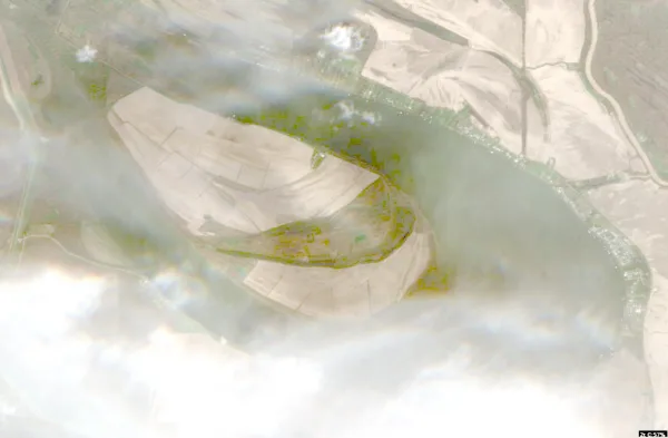
    Conditions, weather and map

  • Satellite view of Eagle Lake

    Eagle Lake

    Vicksburg · Warren County

    Size
    4,500 acres
    Max depth
    27 ft
    Elevation
    82 ft
    Water temp, Oct 30
    72°F

    Fish: Largemouth bass, Bluegill, Channel catfish, Flathead catfish and 3 more

    Conditions, weather and map

  • Satellite view of Horn Lake

    Horn Lake

    Memphis · Desoto County · TN

    Size
    32 acres
    Elevation
    207 ft
    Water temp, Oct 30
    70°F

    Fish: Largemouth bass, Smallmouth bass, Bluegill, Gar and 1 more

    Conditions, weather and map

  • Satellite view of Okatibbee Reservoir

    Okatibbee Reservoir

    Collinsville · Lauderdale County

    Size
    3,500 acres
    Max depth
    30 ft
    Elevation
    361 ft
    Water temp, Oct 30
    71°F

    Fish: Largemouth bass, White crappie, Bluegill, Channel catfish and 4 more
    Conditions, weather and map

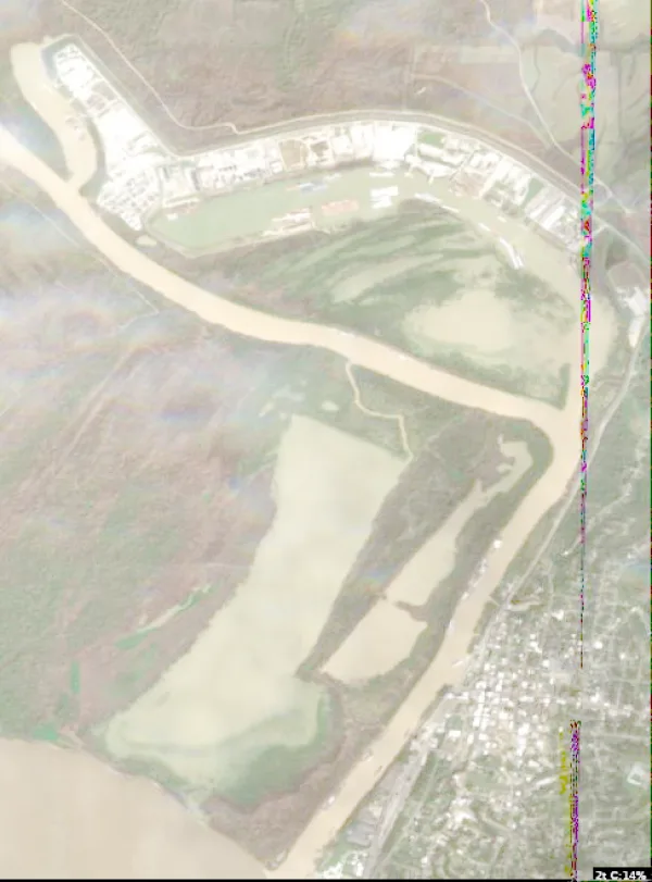
  • Satellite view of Vicksburg Harbor

    Vicksburg Harbor

    Vicksburg · Warren County

    Water temp, Oct 30
    70°F

    Fish: Largemouth bass, Smallmouth bass, White crappie, Black crappie and 6 more

    Conditions, weather and map

  • Satellite view of Moon Lake

    Moon Lake

    Coahoma · Coahoma County

    Size
    2,300 acres
    Max depth
    28 ft
    Water temp, Oct 30
    60°F

    Fish: Largemouth bass, Smallmouth bass, Bluegill, Gar and 1 more
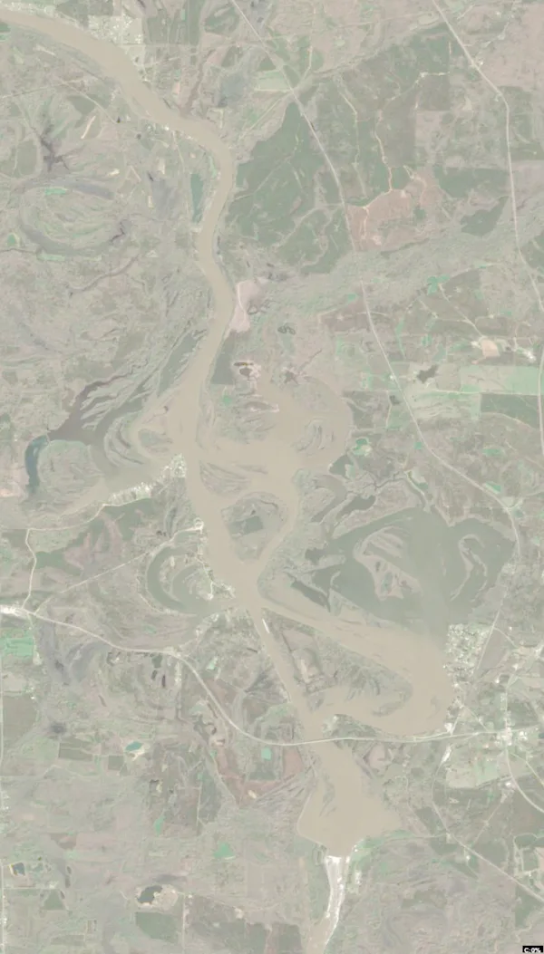
    Conditions, weather and map

  • Satellite view of Lake Pushmataha

    Lake Pushmataha

    Pearl River · Neshoba County

    Size
    285 acres
    Water temp, Oct 30
    72°F

    Fish: Largemouth bass, Bluegill, Gar

    Conditions, weather and map

  • Satellite view of Dump Lake

    Dump Lake

    Bentonia · Yazoo County

    Size
    439 acres
    Elevation
    102 ft
    Water temp, Oct 30
    75°F

    Fish: Largemouth bass, Bluegill, Channel catfish, Black crappie and 2 more
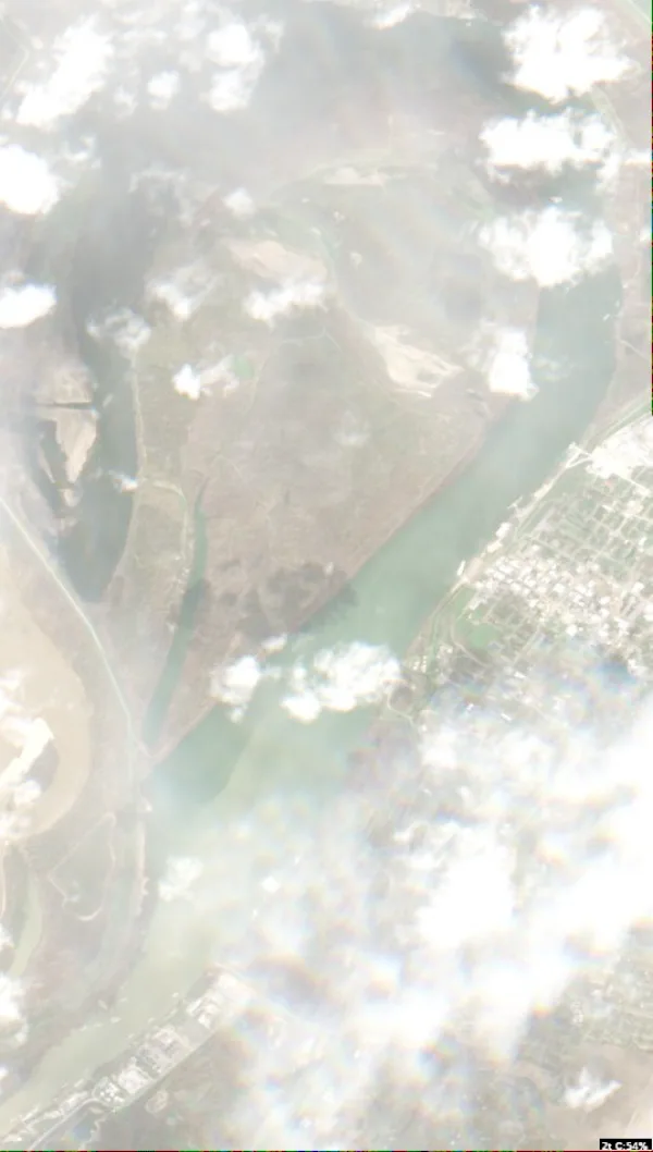
    Conditions, weather and map

  • Satellite view of Lake Ferguson

    Lake Ferguson

    Greenville · Washington County

    Size
    1,400 acres
    Max depth
    44 ft
    Elevation
    105 ft
    Water temp, Oct 30
    70°F

    Fish: Largemouth bass, Bluegill, Channel catfish, Flathead catfish and 5 more
    Conditions, weather and map

  • Satellite view of Lake Lamar Bruce

    Lake Lamar Bruce

    Saltillo · Lee County

    Size
    300 acres
    Max depth
    28 ft
    Elevation
    325 ft
    Water temp, Oct 30
    69°F

    Fish: Largemouth bass, Bluegill, Channel catfish, Redear sunfish
    Conditions, weather and map

  • Satellite view of White's Creek Lake

    White's Creek Lake

    Eupora · Webster County

    Water temp, Oct 30
    69°F

    Fish: Largemouth bass, Bluegill, Channel catfish, Redear sunfish

    Conditions, weather and map

  • Satellite view of Calling Panther Lake

    Calling Panther Lake

    Crystal Springs · Copiah County

    Size
    404 acres
    Max depth
    45 ft
    Water temp, Oct 30
    72°F

    Fish: Largemouth bass, Bluegill, Channel catfish

    Conditions, weather and map

  • Satellite view of Little Eagle Lake

    Little Eagle Lake

    Belzoni · Humphreys County

    Size
    700 acres
    Max depth
    8 ft
    Elevation
    118 ft
    Water temp, Oct 30
    75°F

    Fish: Largemouth bass, Bluegill, Channel catfish, Flathead catfish
    Conditions, weather and map

  • Satellite view of Lake Lincoln

    Lake Lincoln

    Wesson · Lincoln County

    Size
    550 acres
    Max depth
    30 ft
    Water temp, Oct 30
    73°F

    Fish: Largemouth bass, Bluegill, Channel catfish, White crappie and 1 more

    Conditions, weather and map

  • Satellite view of Bee Lake

    Bee Lake

    Bee Lake · Holmes County

    Size
    1,400 acres
    Elevation
    108 ft
    Water temp, Oct 30
    74°F

    Fish: Largemouth bass, Bluegill, Channel catfish, Flathead catfish

    Conditions, weather and map

  • Satellite view of Okhissa Lake

    Okhissa Lake

    Meadville · Franklin County

    Size
    1,075 acres
    Max depth
    75 ft
    Water temp, Oct 30
    74°F

    Fish: Largemouth bass, Bluegill, Redear sunfish, Channel catfish and 1 more
    Conditions, weather and map

  • Satellite view of Little Black Creek

    Little Black Creek

    Lumberton · Lamar County

    Size
    640 acres
    Water temp, Oct 30
    69°F

    Fish: Largemouth bass, Bluegill, Redear sunfish, Black crappie and 2 more
    • Fishing lake

    Conditions, weather and map

  • Satellite view of Lake Bogue Homa

    Lake Bogue Homa

    Laurel · Jones County

    Size
    1,028 acres
    Elevation
    253 ft
    Water temp, Oct 30
    71°F

    Fish: Largemouth bass, Bluegill, Channel catfish, White crappie and 2 more
    Conditions, weather and map

  • Satellite view of Trace Lake

    Trace Lake

    Pontotoc · Pontotoc County

    Size
    565 acres
    Max depth
    40 ft
    Elevation
    351 ft
    Water temp, Oct 30
    70°F

    Fish: Largemouth bass, Bluegill, Channel catfish, Black crappie and 2 more
    Conditions, weather and map

  • Satellite view of Bluff Lake

    Bluff Lake

    Crawford · Noxubee County

    Size
    1,200 acres
    Elevation
    217 ft
    Water temp, Oct 30
    68°F

    Fish: Largemouth bass, Bluegill, Redear sunfish, Channel catfish and 1 more
    Conditions, weather and map

  • Satellite view of Neshoba County Lake

    Neshoba County Lake

    Philadelphia · Neshoba County

    Size
    138 acres
    Max depth
    14 ft
    Water temp, Oct 30
    64°F

    Fish: Largemouth bass, Bluegill, Redear sunfish, Channel catfish and 1 more
    Conditions, weather and map

  • Satellite view of Natchez State Park

    Natchez State Park

    Natchez · Adams County

    Size
    230 acres
    Max depth
    44 ft
    Elevation
    272 ft
    Water temp, Oct 30
    72°F

    Fish: Largemouth bass, Bluegill, Channel catfish, Redear sunfish
    Conditions, weather and map

  • Satellite view of Legion Lake

    Legion Lake

    Tupelo · Lee County

    Size
    20 acres
    Water temp, Oct 30
    71°F

    Fish: Largemouth bass, Bluegill, Channel catfish, White crappie and 2 more
    Conditions, weather and map

  • Satellite view of Columbus Lake

    Columbus Lake

    Waverly · Clay County

    Size
    8,910 acres
    Water temp, Oct 30
    66°F

    Conditions, weather and map

  • Satellite view of Kemper Lake

    Kemper Lake

    Kemper · Kemper County

    Size
    595 acres
    Max depth
    36 ft
    Elevation
    374 ft
    Water temp, Oct 30
    69°F

    Fish: Largemouth bass, Bluegill, Channel catfish, Black crappie and 2 more
    Conditions, weather and map

  • Satellite view of Tunica Lake

    Tunica Lake

    Tunica · Tunica County

    Size
    3,800 acres
    Max depth
    40 ft
    Water temp, Oct 30
    70°F

    Fish: Largemouth bass, Bluegill, Channel catfish, White bass and 2 more

    Conditions, weather and map

  • Satellite view of Choctaw Lake

    Choctaw Lake

    Ackerman · Choctaw County

    Size
    95 acres
    Max depth
    15 ft
    Water temp, Oct 30
    67°F

    Conditions, weather and map

  • Satellite view of Oktibbeha County Lake

    Oktibbeha County Lake

    Starkville · Oktibbeha County

    Size
    513 acres
    Water temp, Oct 30
    59°F

    Fish: Largemouth bass, Bluegill, Redear sunfish, Channel catfish and 1 more
    Conditions, weather and map

  • Satellite view of Jefferson Davis Lake

    Jefferson Davis Lake

    Prentiss · Jefferson Davis County

    Size
    100 acres
    Max depth
    30 ft
    Elevation
    331 ft
    Water temp, Oct 30
    69°F

    Fish: Largemouth bass, Bluegill, Redear sunfish, Channel catfish and 1 more
    Conditions, weather and map

  • Satellite view of Dogwood Lake

    Dogwood Lake

    Camp Shelby · Perry County

    Size
    19 acres
    Water temp, Oct 30
    75°F

    Fish: Largemouth bass, Bluegill, Channel catfish, Redear sunfish

    Conditions, weather and map

  • Satellite view of Walker Lake

    Walker Lake

    Oakland · Yalobusha County

    Size
    35 acres
    Water temp, Oct 30
    69°F

    Fish: Largemouth bass, Bluegill, Channel catfish, Black crappie and 2 more
    Conditions, weather and map

  • Satellite view of Lake Mike Connor

    Lake Mike Connor

    Collins · Covington County

    Size
    80 acres
    Max depth
    24 ft
    Elevation
    305 ft
    Water temp, Oct 30
    71°F

    Fish: Largemouth bass, Bluegill, Redear sunfish, Black crappie and 2 more

    Conditions, weather and map

  • Satellite view of Lake George WMA

    Lake George WMA

    Holly Bluff · Yazoo County

    Size
    8,383 acres
    Water temp, Oct 30
    73°F

    Fish: Largemouth bass, Bluegill, Gar

    Conditions, weather and map

  • Satellite view of Lake Eddins

    Lake Eddins

    Pachuta · Jasper County

    Size
    646 acres
    Water temp, Oct 30
    72°F

    Conditions, weather and map

  • Satellite view of Lake Tangipahoa

    Lake Tangipahoa

    Mccomb · Pike County

    Size
    490 acres
    Max depth
    20 ft
    Water temp, Oct 30
    71°F

    Fish: Largemouth bass, Bluegill, Channel catfish, Black crappie and 2 more

    Conditions, weather and map

  • Satellite view of Denmark Lake

    Denmark Lake

    Altus · Lafayette County

    Size
    17 acres
    Max depth
    13 ft
    Water temp, Oct 30
    68°F

    Conditions, weather and map

  • Satellite view of Geiger Lake

    Geiger Lake

    Hattiesburg · Forrest County

    Size
    225 acres
    Max depth
    18 ft
    Water temp, Oct 30
    72°F

    Conditions, weather and map

  • Satellite view of Aberdeen Lake

    Aberdeen Lake

    Aberdeen · Monroe County

    Size
    4,121 acres
    Water temp, Oct 30
    70°F

    Conditions, weather and map

  • Satellite view of Chotard Lake

    Chotard Lake

    Eagle Bend · Issaquena County

    Size
    1,123 acres
    Water temp, Oct 30
    72°F

    Conditions, weather and map

  • Satellite view of Davis Lake

    Davis Lake

    New Houlka · Chickasaw County

    Size
    200 acres
    Max depth
    27 ft
    Water temp, Oct 30
    70°F

    Conditions, weather and map

  • Satellite view of Turkey Fork Lake

    Turkey Fork Lake

    Avera · Greene County

    Size
    250 acres
    Max depth
    16 ft
    Water temp, Oct 30
    72°F

    Conditions, weather and map

Questions about lakes in Mississippi

How many lakes are in Mississippi?
LakeMonster tracks 121 lakes and reservoirs in Mississippi. They are spread over 62 counties; Benton County (9), Pearl River County (8) and Yalobusha County (7) have the most. This counts the lakes LakeMonster follows, not every pond and water body.
What is the largest lake in Mississippi?
By recorded surface area, the largest lake in Mississippi on LakeMonster is Grenada Lake at 35,820 acres, followed by Ross Barnett Reservoir (33,000 acres), Sardis Lake (32,000 acres) and Enid Lake (27,950 acres).
What is the deepest lake in Mississippi?
Of the lakes with a recorded maximum depth, the deepest is Bay Springs Lake at about 95 feet, followed by Okhissa Lake (75 ft), Calling Panther Lake (45 ft) and Lake Ferguson (44 ft).
What fish can you catch in Mississippi lakes?
The species listed most often for Mississippi lakes on LakeMonster are bluegill (39 lakes), largemouth bass (39 lakes), channel catfish (34 lakes), redear sunfish (25 lakes), black crappie (21 lakes) and white crappie (17 lakes). Species lists are available for 39 of the 121 lakes. Check state regulations and seasons before fishing.
What are the most popular lakes in Mississippi?
The most visited Mississippi lake pages on LakeMonster are Sardis Lake, Grenada Lake, Ross Barnett Reservoir, Bay Springs Lake and Lake Washington.
Which lakes in Mississippi have a boat ramp?
LakeMonster has a boat ramp on record at 1 lake in Mississippi, including Grenada Lake. Amenities are not recorded for every lake, so other lakes may have ramps too.
Which lakes in Mississippi have camping?
Camping is on record at 1 lake in Mississippi, including Grenada Lake. Amenities are not recorded for every lake.
What is the highest lake in Mississippi?
Of the lakes with a recorded elevation, the highest is Bay Springs Lake at about 410 feet above sea level, followed by Kemper Lake (374 ft) and Okatibbee Reservoir (361 ft).

Keep exploring

This list is rebuilt every day from LakeMonster’s lake records. Newest lake data in Mississippi: . Sizes, depths and amenities are as recorded and are not available for every lake; water temperature readings show their own date.

Lakes in Mississippi: 121 Lakes, Map & Counties | LakeMonster